Blog
May 7, 2020
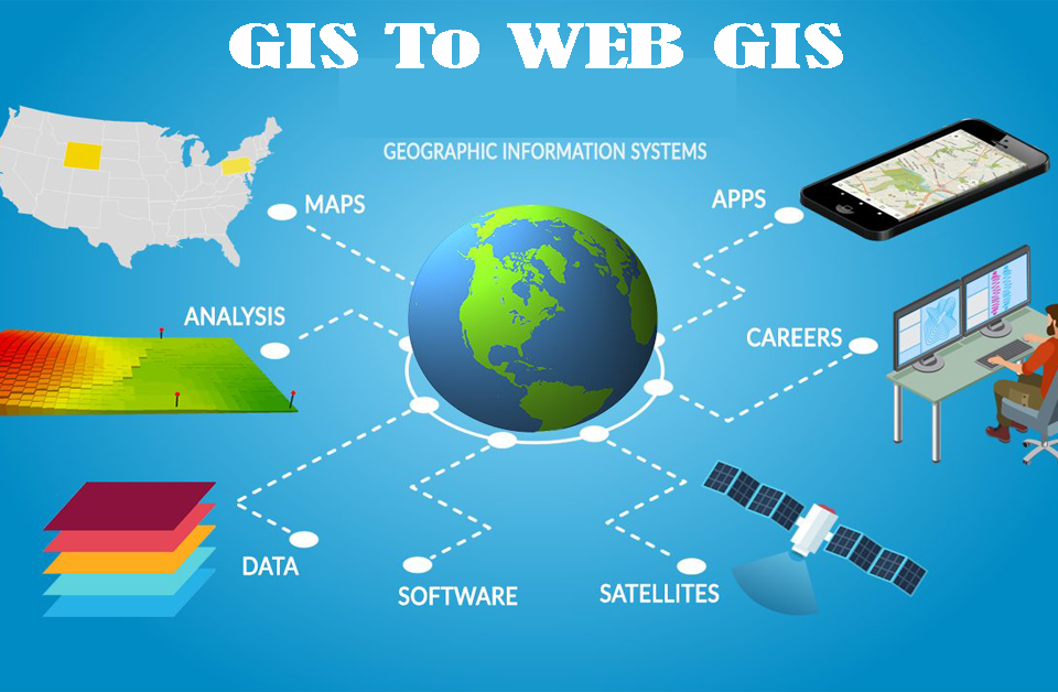
Introduction: GIS A Geographic Data System (GIS) is a PC system for catching, storing, checking, and showing information identified with positions on Earth surface. By relating apparently disconnected information, GIS can support people and associations better […]
April 30, 2020
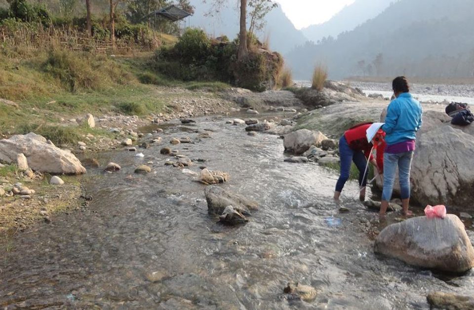
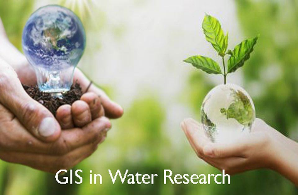
GIS is the key program for Water Resource Mapping. It offers extraordinary new apparatuses for assortment, stockpiling, elaboration, the board and show information, re-enactment models and intelligent maps, for the Water Resource Mapping field as well […]
April 29, 2020
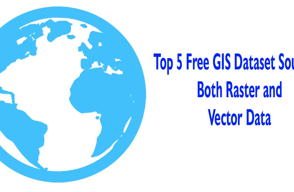
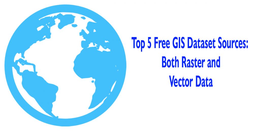
We know that there are 2 major types of GIS data: Vector data Raster data Vector Data We can assume vector data as guidelines for how to render the data. The better way to visualize it […]
April 28, 2020

Hydropower Monitoring Services at UIZ Hydropower is the use of the flow of water to produce electricity, most of the time with a reservoir that stores a huge volume and a turbine that turn with the […]
April 24, 2020
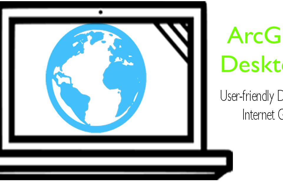
Substitutes to ArcGIS Desktop If one has ever worked with spatial data on the desktop, possibilities are that they can use Esri’s ArcGIS application in some part of their tasks. ArcGIS Desktop is an extremely mighty […]
April 23, 2020

Mobile survey apps have been customized to be used in agriculture, fishing and forestry. Some mobile survey apps are specially designed to collect forest information. It is a field survey and data recording tool for forest […]
April 23, 2020

A Geographical Information System means software that is designed to capture, store, check and display the spatial data. GIS is a data management tool helpful also to understand and identify natural hazards or disasters. A disaster […]
April 7, 2020

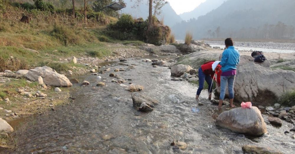
River Monitoring: these days, issues comparable to lack of water and progressing contamination request successful methods for overseeing lakes and streams just as lakes and waterway observing. In Europe, the lawful prerequisites of the Water System […]
April 7, 2020
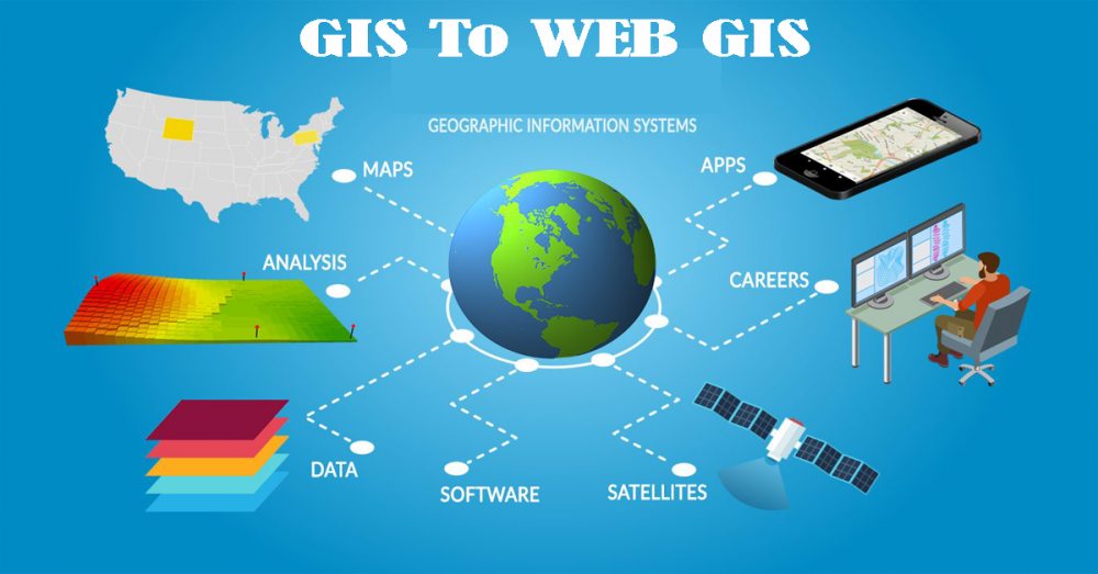
A Geographic Information System (GIS) is a framework intended to catch, store, control, examine, oversee, and present spatial or geographic information. GIS applications are devices that permit clients to make intuitive inquiries (client made ventures), dissect […]

