Geofencing
July 10, 2020
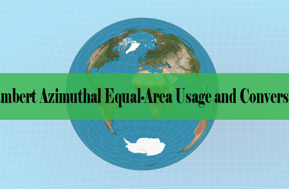
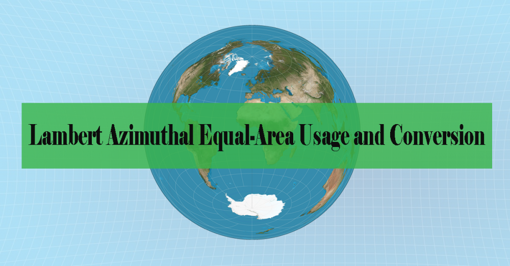
This document gives an overview of Lambert Azimuthal Equal-Area (LAEA) Projected Coordinate System and provides a conversion procedure guide.
May 13, 2020

What is Geodata? Geodata is data about geographic locations that are stored in a configuration that can be utilized with a Geographic Information System (GIS). Geodata can be stored in a database, geodatabase, shapefile, coverage, raster […]
March 23, 2020
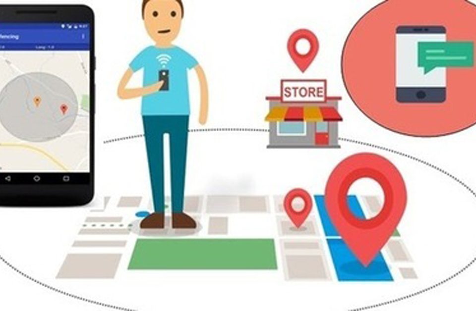
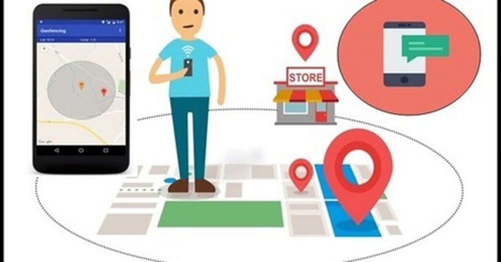
Geofencing marketing is a kind of location-based marketing that permits you to connect with smart mobile device users in a nominated geospatial area, like an outlet, through mobile applications or mobile webpages. As it is a […]
December 23, 2017
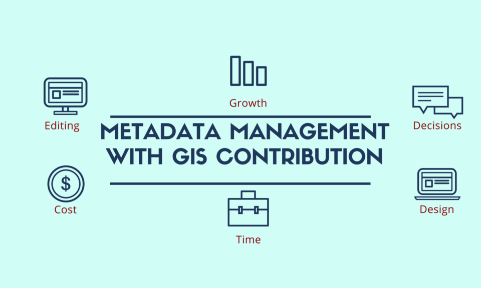
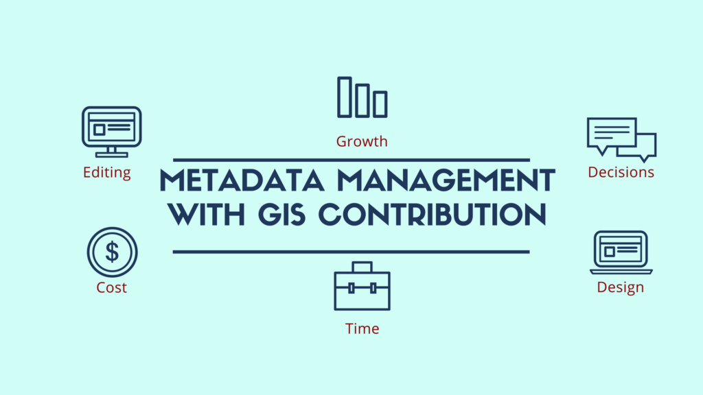
Meaning and Use of Metadata Metadata Management: It is really strange when new terms are created, as science grows and now we have to deal with metadata. So, metadata is data referred to other data. In […]
October 4, 2017
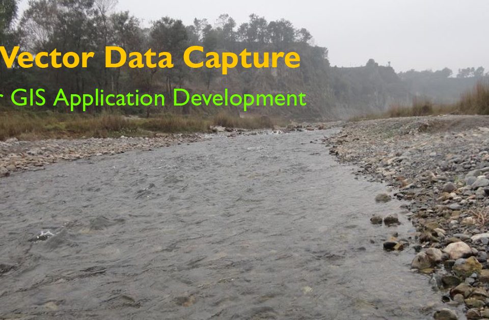
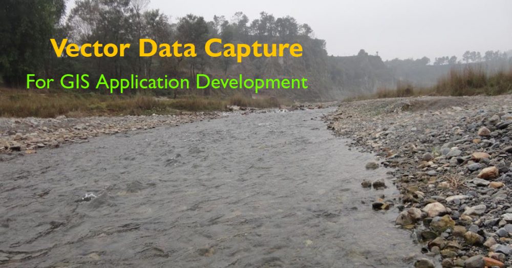
Vector Data is one of the ways to provide detailed information for GIS environment in a way to represent real-world features. A feature is anything which can be seen on a landscape including houses, rivers, lakes, […]
August 19, 2017

Web GIS After getting a lot of “What is Web GIS?” questions on our website despite having all the available online articles, I and my working colleague decided to explain Web GIS in basic terminologies as […]
