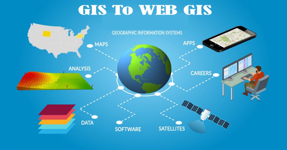
GIS
May 28, 2020

GIS A Geographic Data System (GDS) is a PC system for catching, storing, checking, and showing information identified with positions on Earth’s surface. By relating apparently disconnected information, GIS can support people and associations better comprehend […]
May 24, 2020
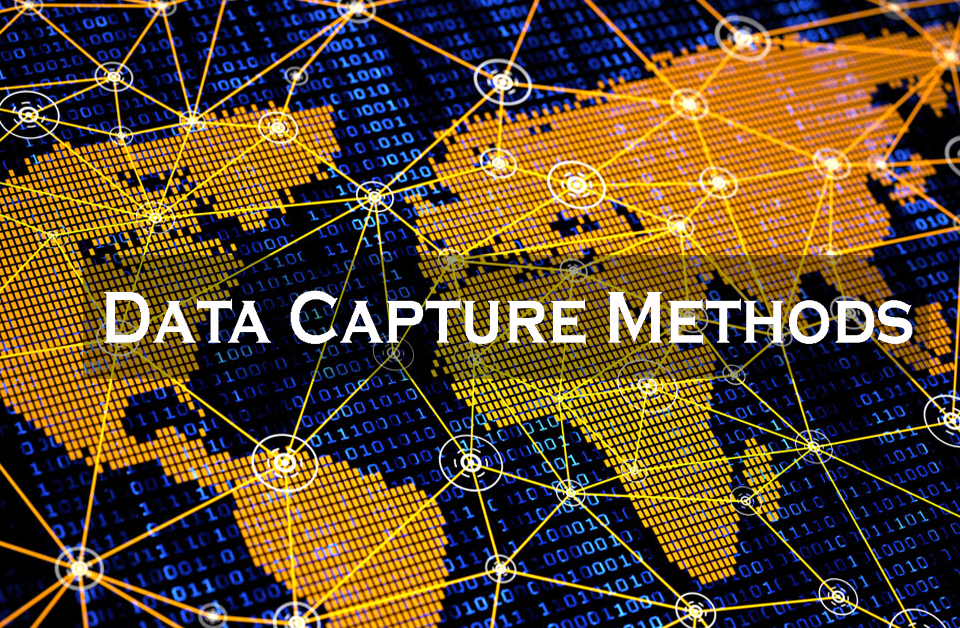
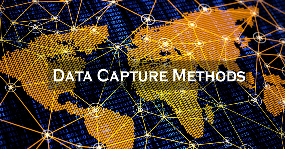
What is Data Capture in GIS? GIS Data Capture is a method where the data on different map attributes, facilities, resources, and organizational information are digitized and organised on an objective GIS system in appropriate layers. […]
May 21, 2020
Introduction: Forest is one of the significant parts of the earth. Forests assume an imperative job in urban and rural climates. Forest Mapping characterizes how Geographic Information System (GIS), Remote Detecting System (RDS) and Global Positioning […]
May 21, 2020
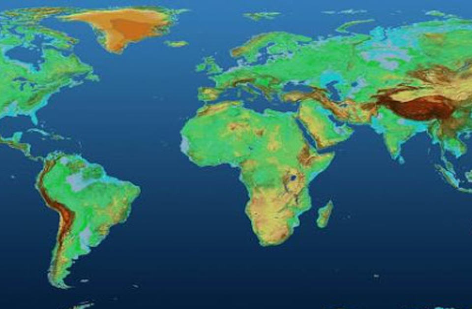
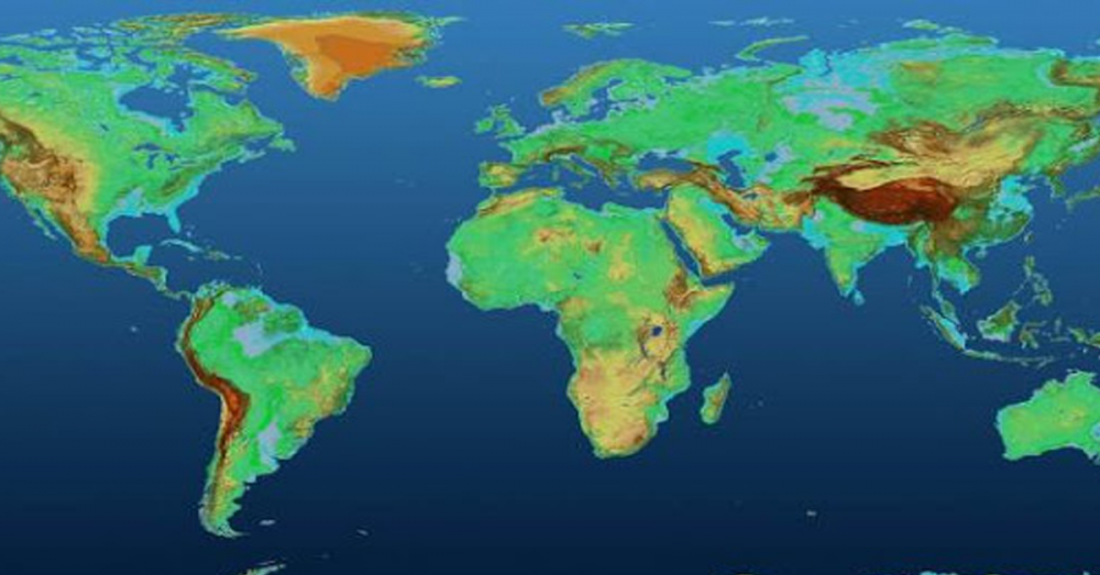
What is Digital Elevation Model in GIS? A Digital Elevation Model (DEM) is a specific database that represents to the alleviation of a surface between points of known elevation. By inserting referred to as elevation data […]
May 15, 2020

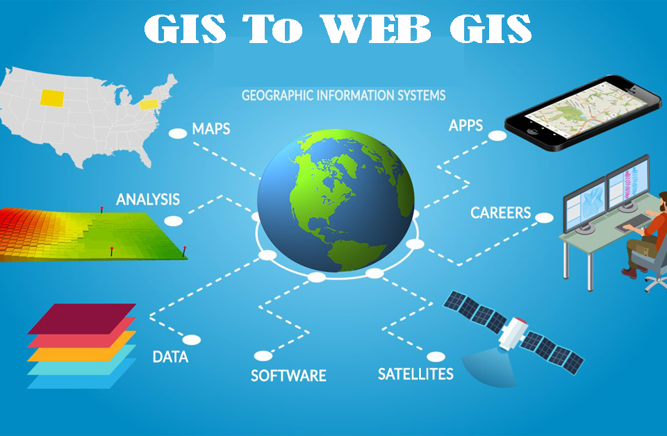
A geographic information system (GIS) is a system intended to catch, store, control, examine, oversee, and present spatial or geographic information. GIS applications are devices that permit clients to make intuitive inquiries (client made ventures), dissect […]
May 7, 2020
Introduction: GIS A Geographic Data System (GIS) is a PC system for catching, storing, checking, and showing information identified with positions on Earth surface. By relating apparently disconnected information, GIS can support people and associations better […]
April 30, 2020
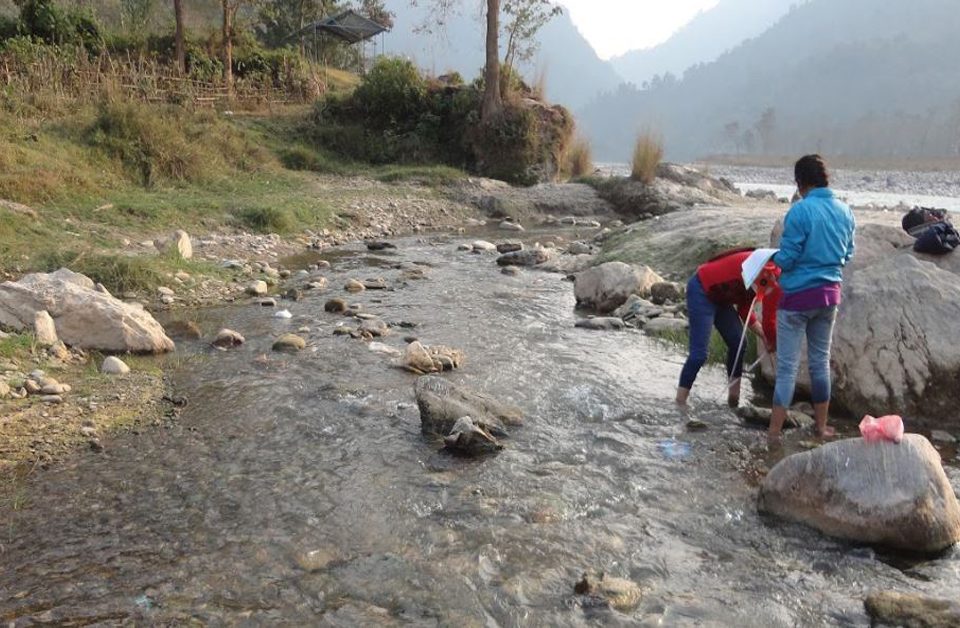
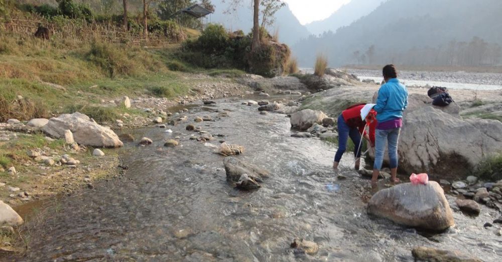
GIS is the key program for Water Resource Mapping. It offers extraordinary new apparatuses for assortment, stockpiling, elaboration, the board and show information, re-enactment models and intelligent maps, for the Water Resource Mapping field as well […]
April 29, 2020

We know that there are 2 major types of GIS data: Vector data Raster data Vector Data We can assume vector data as guidelines for how to render the data. The better way to visualize it […]
April 28, 2020

Hydropower Monitoring Services at UIZ Hydropower is the use of the flow of water to produce electricity, most of the time with a reservoir that stores a huge volume and a turbine that turn with the […]
