Research
April 30, 2020
GIS is the key program for Water Resource Mapping. It offers extraordinary new apparatuses for assortment, stockpiling, elaboration, the board and show information, re-enactment models and intelligent maps, for the Water Resource Mapping field as well […]
April 29, 2020
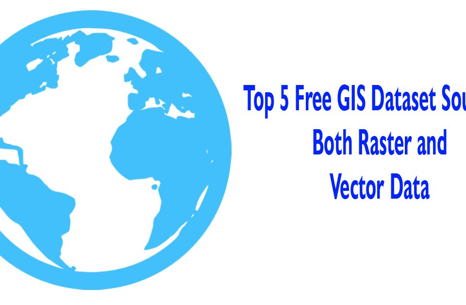
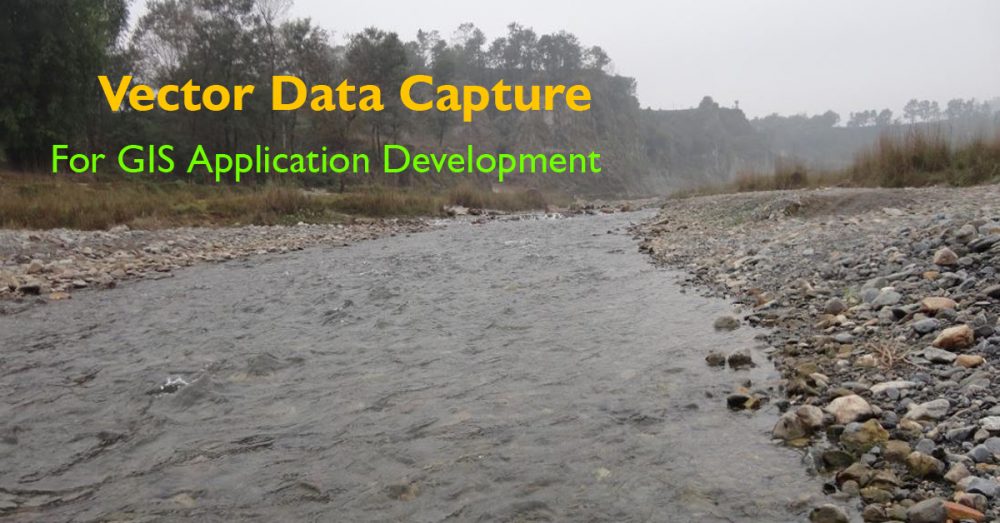
We know that there are 2 major types of GIS data: Vector data Raster data Vector Data We can assume vector data as guidelines for how to render the data. The better way to visualize it […]
April 23, 2020
Mobile survey apps have been customized to be used in agriculture, fishing and forestry. Some mobile survey apps are specially designed to collect forest information. It is a field survey and data recording tool for forest […]
October 31, 2019
GIS (Geographical Information System) is mainly used for mapping processes. GIS is a computer-based information system that is aimed at collecting, storing, manipulating, analyzing, organizing, managing, summarizing and displaying all types of geographical data. GIS has […]
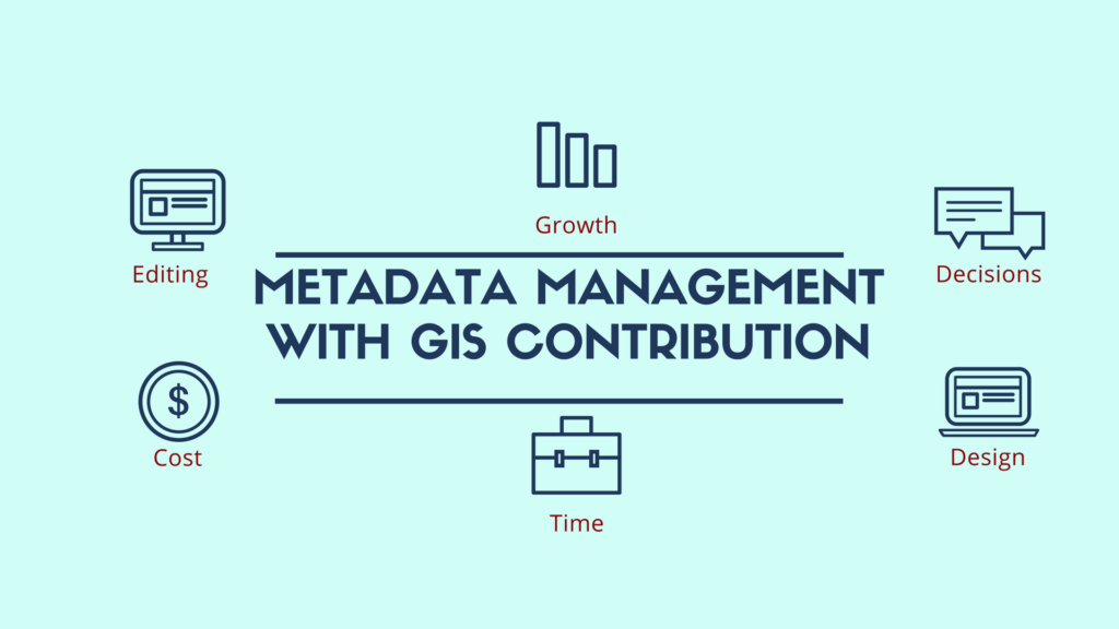
December 23, 2017
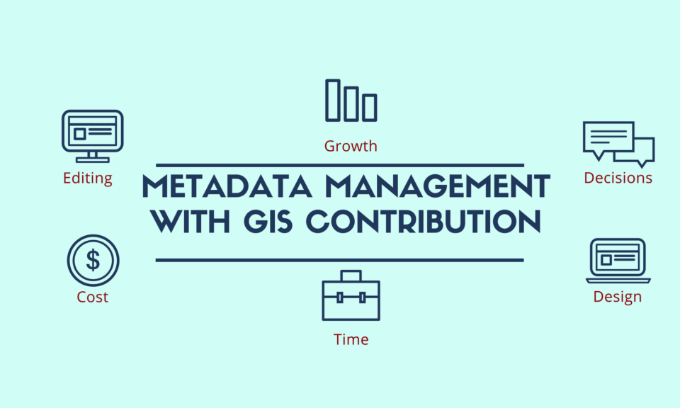
Meaning and Use of Metadata Metadata Management: It is really strange when new terms are created, as science grows and now we have to deal with metadata. So, metadata is data referred to other data. In […]
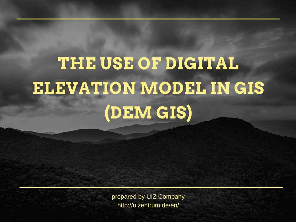
December 2, 2017

Digital Elevation Model (DEM) Digital elevation model deals with the digital representation of earth’s surface without objects like plants or buildings on it, and from now on we will refer to it as DEM. DEM is […]
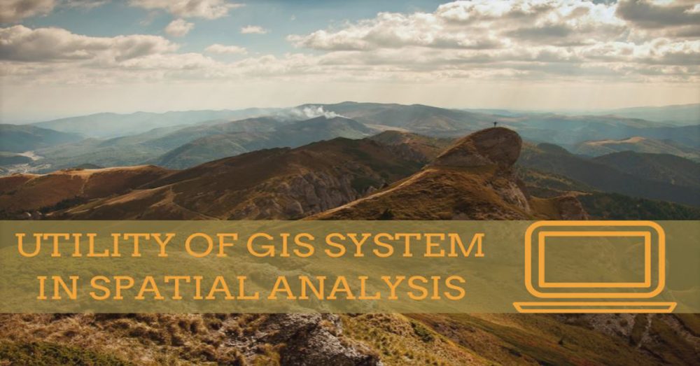
November 30, 2017
Why is GIS System Useful? GIS system gives us the opportunity to store, edit and analyze data, visualize them and draw conclusions. The abbreviation of GIS means geographic information system and belongs in the wider domain of geoinformatics. […]
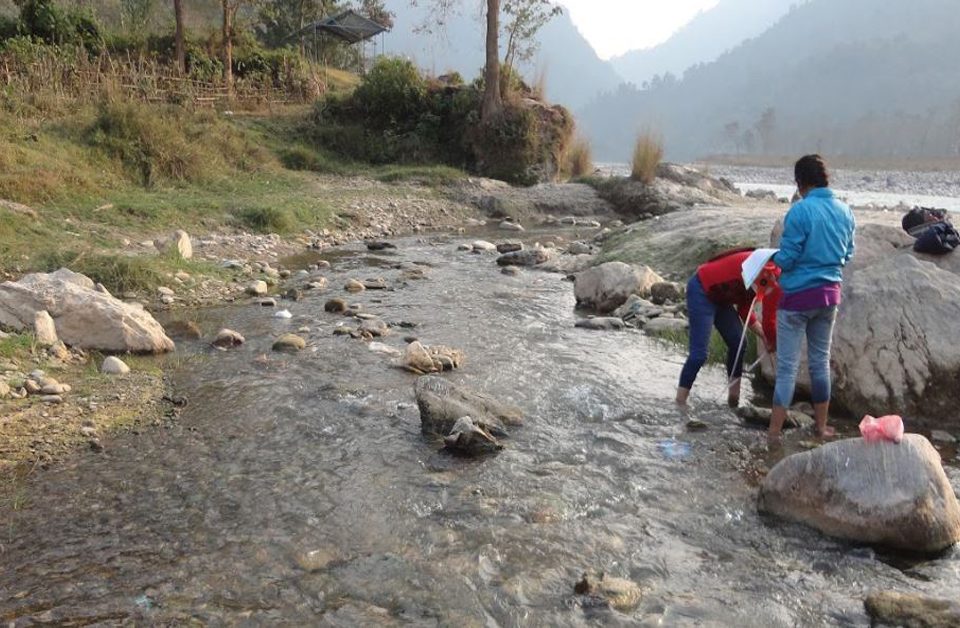
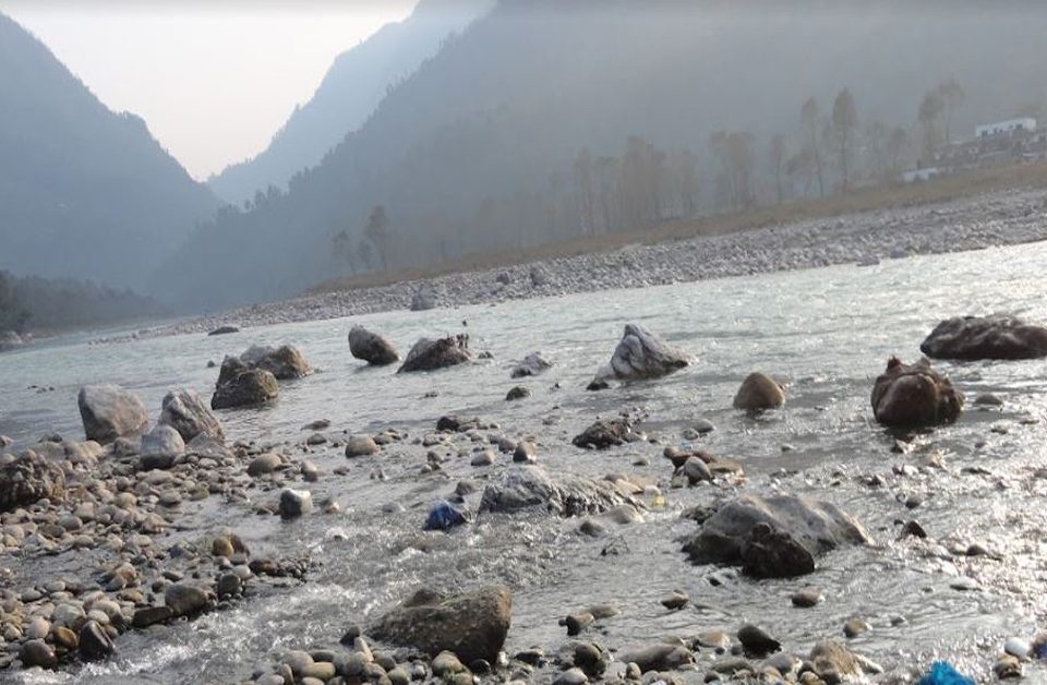
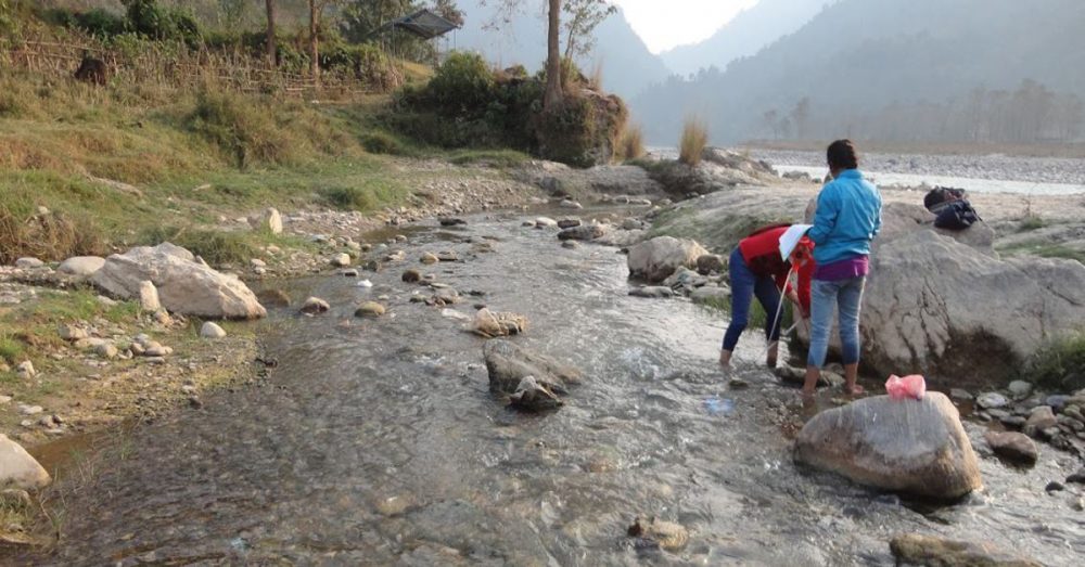
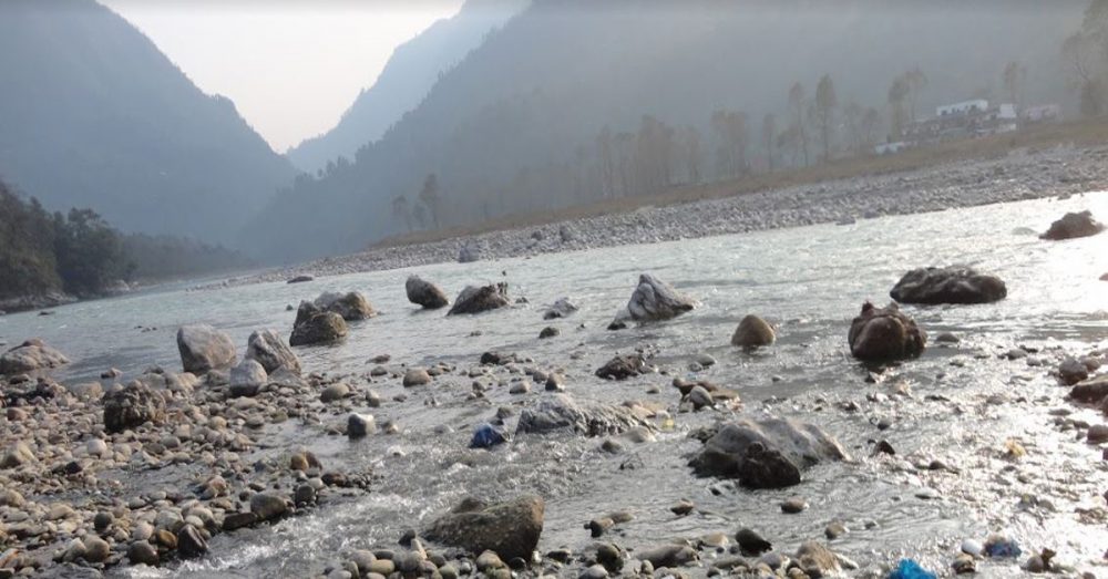
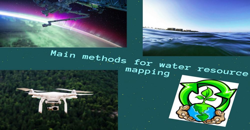
November 11, 2017
Water Resource Mapping (WRM) Talking about water resource mapping the first thing we think of is where is the water? Well, it is everywhere; on earth’s surface, downstream to the aquifer, in the clouds, in our […]
October 4, 2017
Vector Data is one of the ways to provide detailed information for GIS environment in a way to represent real-world features. A feature is anything which can be seen on a landscape including houses, rivers, lakes, […]
