Uncategorized
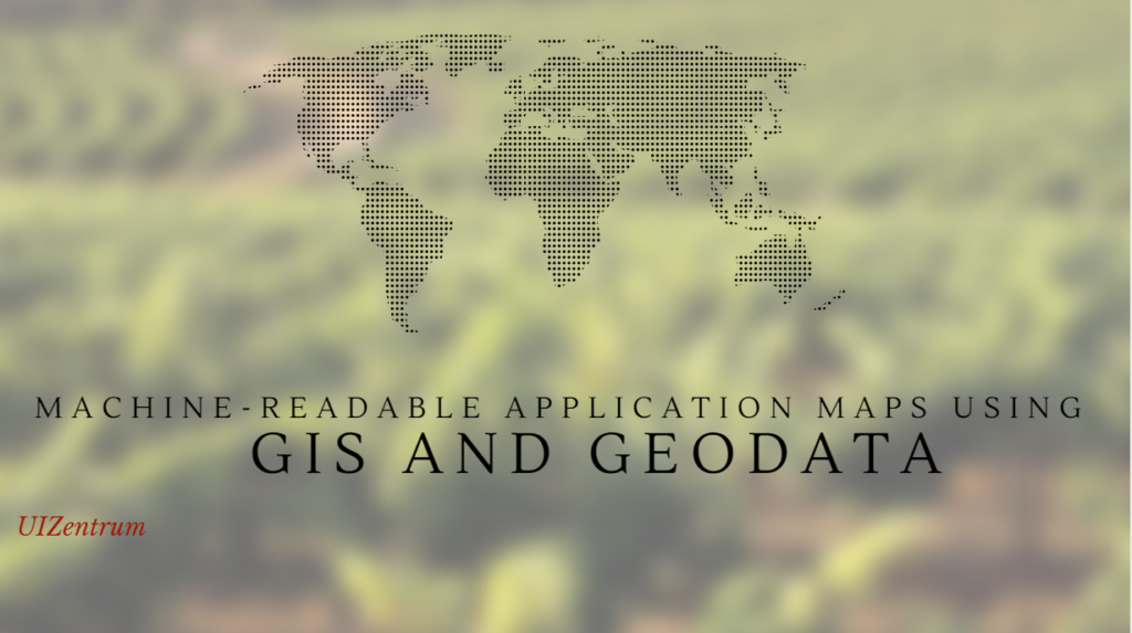
October 1, 2017
The technological evolution we are going through compels us to look for easier solutions to the problems and mysteries and this is possible through the advancements that we have made in the respective field. Maps have […]
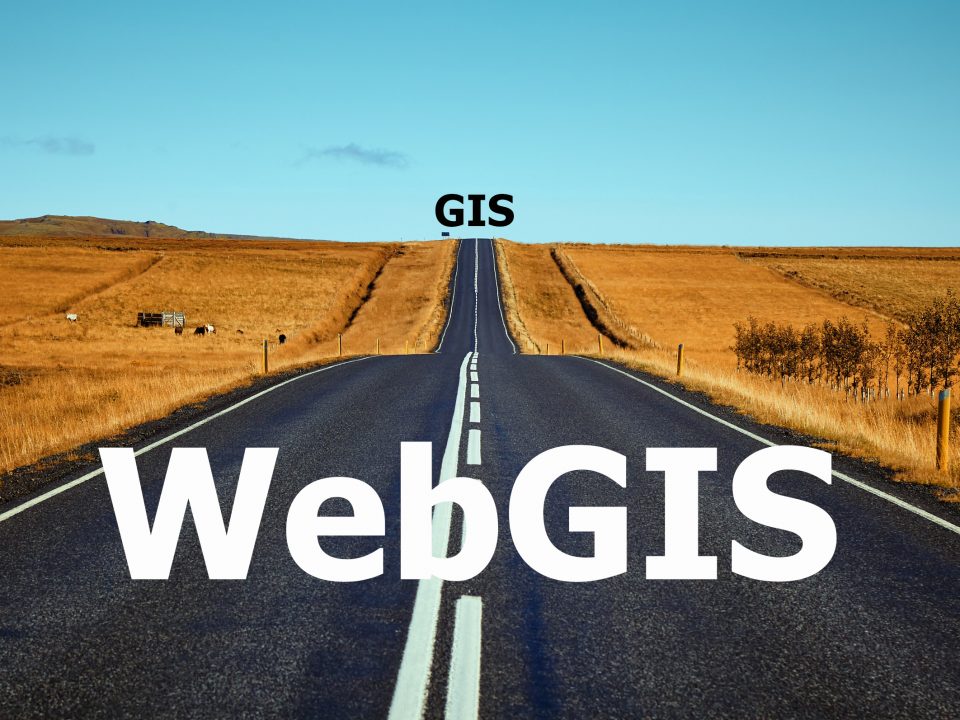
August 19, 2017
Web GIS After getting a lot of “What is Web GIS?” questions on our website despite having all the available online articles, I and my working colleague decided to explain Web GIS in basic terminologies as […]
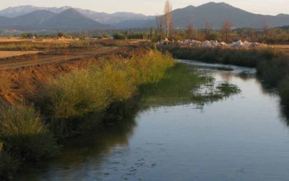
October 11, 2016
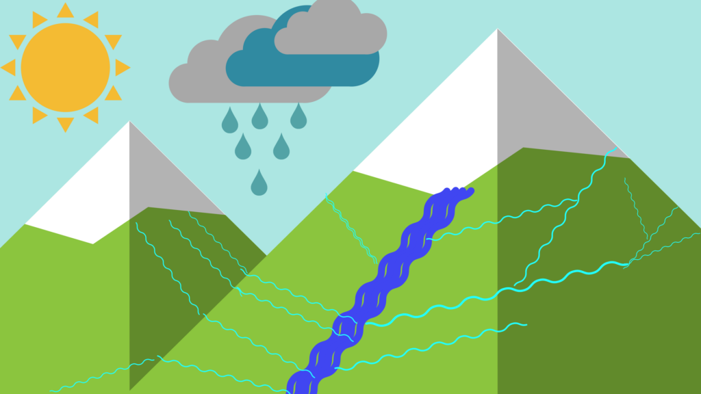
GIS in Water Resource Monitoring The trend of growing technology like GIS helps to mitigate difficulties in improving geographical data of the country. Remote sensing and geographical information system (GIS) are the computer based science technologies […]
March 20, 2016

Agricultural suitability assessment, which is the systematical establishment of good, moderate and poor land in order to identify the best use to which land is put, is of importance in the field of agriculture. To achieve […]
January 21, 2016
Global population increase leads to the demand for more shelter and food, which has resulted in pressure on land for different uses such as urban buildings and infrastructure, agriculture, transportation, recreation, etc. The pressure on land […]
January 8, 2016

GIS have different modern applications, and innovative headways have essentially upgraded GIS information, explicitly how it tends to be utilized and what can be accomplished accordingly as a result. Geographic Information Systems are amazing dynamic apparatuses […]
September 19, 2015
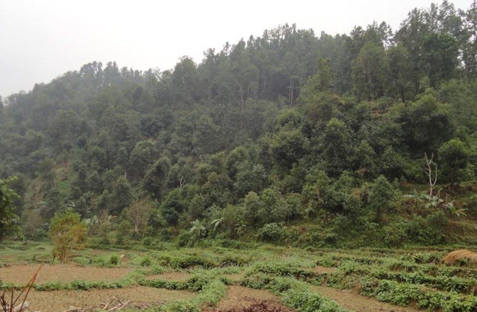
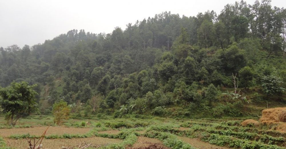
Mapping Forestry Forest is one of the major aspects of the environment. Forest plays a vital role in urban and rural climates. Forest fires cause heavy damage to our communities and natural resource points. GIS can […]
September 12, 2015
Geographic information system (GIS) A geographic information system (GIS) is system which help us to visualize, analyze, quarry, and interpret our spatial data to understand relationships, trends, patterns, and from the data. Earlier it was used […]
September 12, 2015
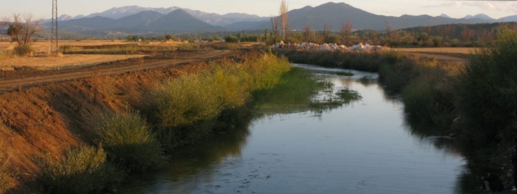
First of all we have to increase public awareness for the application of remote sensing and Geographic Information System (GIS) in water resource monitoring and management; tough measures and dissemination of new laws in the area […]

