Top 5 Free GIS Dataset Sources: Both Raster and Vector Data

Hydropower Monitoring
April 28, 2020
Water Resource Mapping and Methods
April 30, 2020
We know that there are 2 major types of GIS data:
- Vector data
- Raster data
Vector Data
We can assume vector data as guidelines for how to render the data. The better way to visualize it is to believe it as a spreadsheet with columns that include our regular data, but in count it always has an additional column called “geometry”.
That column contains one or additional coordinates that illustrate how to portray the point, line or polygon that represents that feature on the features of the terrain.
Raster Data
If vector data is non-figurative, raster data is factual. Raster data is a bitmap representation such as a TIFF or JPEG. This layout is usually used for satellite imagery, aerial photography, digital elevation models and topographic maps, etc.
Free GIS Data Sources
Everybody who is really interested to play with the geographical data these is the free resource providing platforms.
- Esri Open Data Hub
- Natural Earth Data
- USGS Earth Explorer
- OpenStreetMap
- Sentinel Satellite Data
Esri Open Data Hub
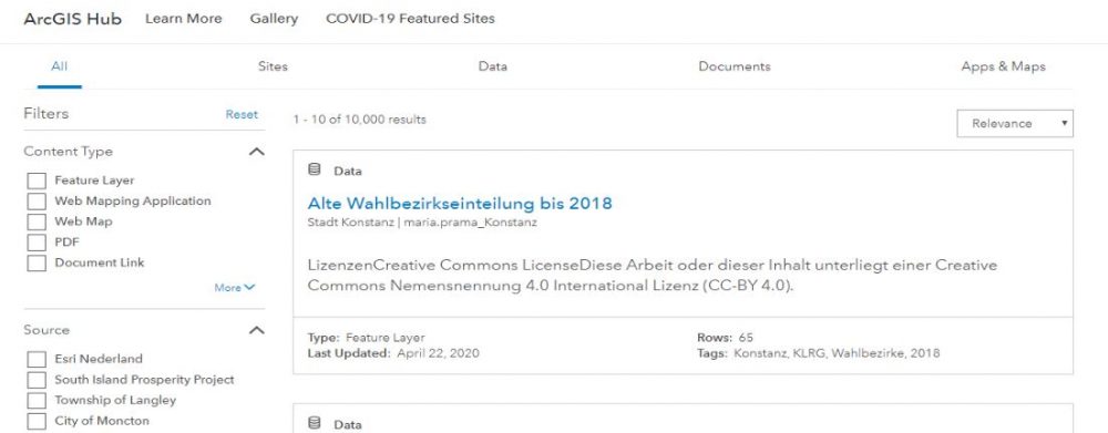
Esri as we all know that this organisation carries decent work in providing necessary data. It covers approximately 249,000+ open data from more than 5,000+ groups worldwide.
Benefits
- Esri now has more than 249,000+ open data sets from over 5,000+ groups worldwide
- It is managed by one of the largest commercial GIS organizations in the world
Available Data types
- Downloadable formats are in spreadsheet, KML, shapefile.
- An application programming interface (API) is OGC WMS, GeoJSON and GeoService.
Natural Earth Data
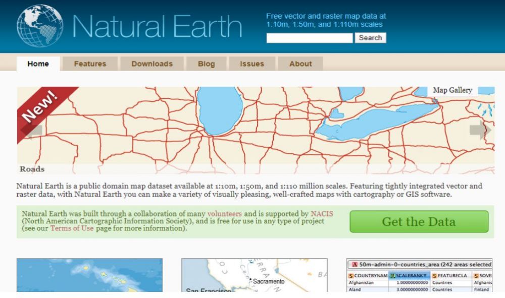
Natural Earth Data best fits for the needs of cartographers.
Benefits
- Downloadable global free GIS datasets in public domain
- Backed by the North American Cartographic Information Society (NACIS)
Available Data Types
- Cultural, physical and raster (base map) datasets.
- Quickstart kit (MXD and QGS files) with all necessary stylized layers.
USGS Earth Explorer
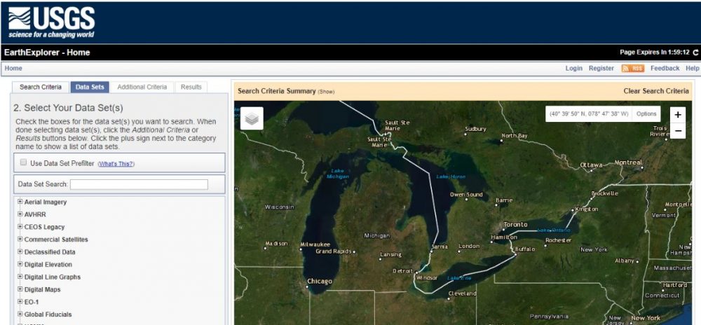
Used in both satellite and aerial imagery, the USGS Earth Explorer is one of the biggest free sources for data. It helps to download data outside of the United States without any problem.
Benefits
- Satellite imagery is worldwide and not limited to the United States
- The user interface is state-of-the-art with easy using filters
Available Data types
- Landsat, Sentinel-2 and land cover
- Digital Elevation Models (DEM) like NASA’s ASTER and SRTM
Open Street Map
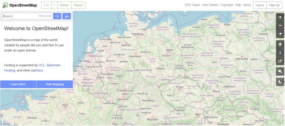
OSM is open to the public, while it is created by the public. So we can say that the accuracy differs based on the creator. In general, the accuracy is very good.
Benefits
- More detailed free GIS data with various levels of accuracy and completeness
Available Data Types
- High geospatial resolution cultural vector data like buildings, roads, waterways
Sentinel Satellite Data
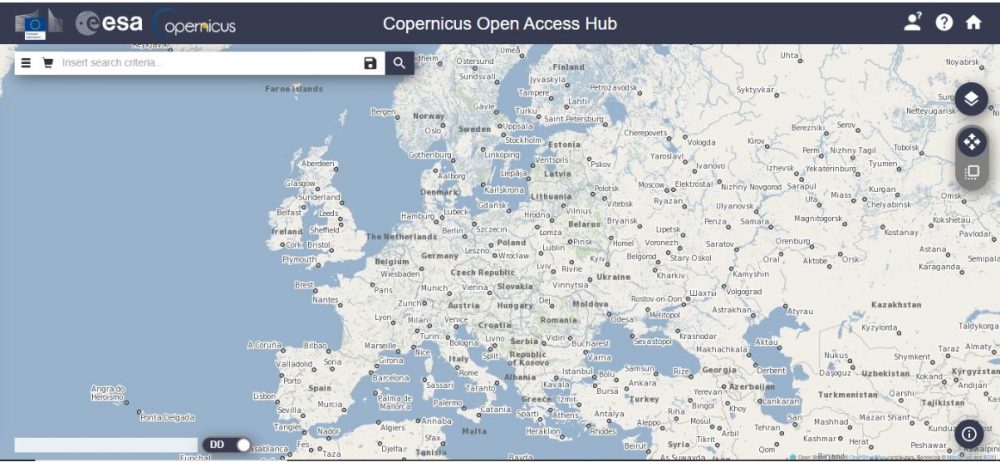
Sentinel-2 is one of the highest resolution satellite imagery accessible to the public for free. Its user interface is the Copernicus Open Access Hub.
But we have to register to create an account. And the wait time will be worthful. Then we have to select our area of interest by right-clicking on the map. In the end, select the S2A or S2B product we want to download and wait till it gets download.
Benefits
- 10-meter resolution satellite data quickly available.
- Sentinel 2 data consists of 11 spectral bands including red, green, blue, near-infrared
Available Data Types
- Raster data – 11 channels from the Sentinel-2. Synthetic aperture radar from the Sentinel-1.
Contact us to know more about it.


