Water Resource Mapping| GIS VS Remort Sensing

Tools and Technique for GeoData Mining
April 26, 2018
GEODATA & GEOVISUALISATION
April 28, 2018
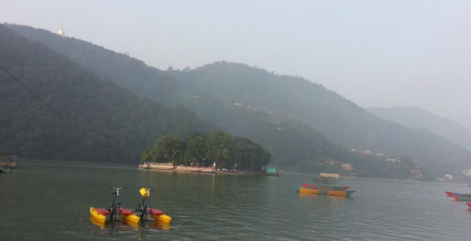
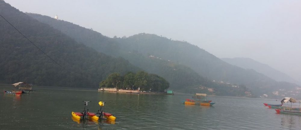
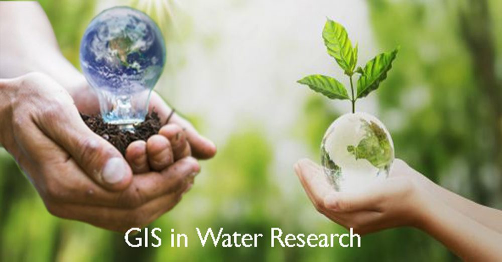
Water Resource Mapping
Talking about water resource mapping the first thing we wonder is where is the water? Well, it is everywhere, on earth’s surface, downstream to the aquifer, in the clouds, in our bodies, in the atmosphere, it is everywhere. And the next question is how I can learn how much water there is in every source? Well, the answer is easy anymore. It is called water resource mapping.
With water resource mapping we refer to the process of mapping the existed amount of water in every source for scientific and environmental purposes. In other words, as science goes forward there is a variety of maps created using geographical water data which inform you about the amount of precipitation in a region, the streams, rivers, the direction of water flow in each of them, how much groundwater there is depending on the area and much more information related to the water. The utility of these maps is due to the need for better management of water resources and environmental upgrading.
GIS for Water Resource Mapping
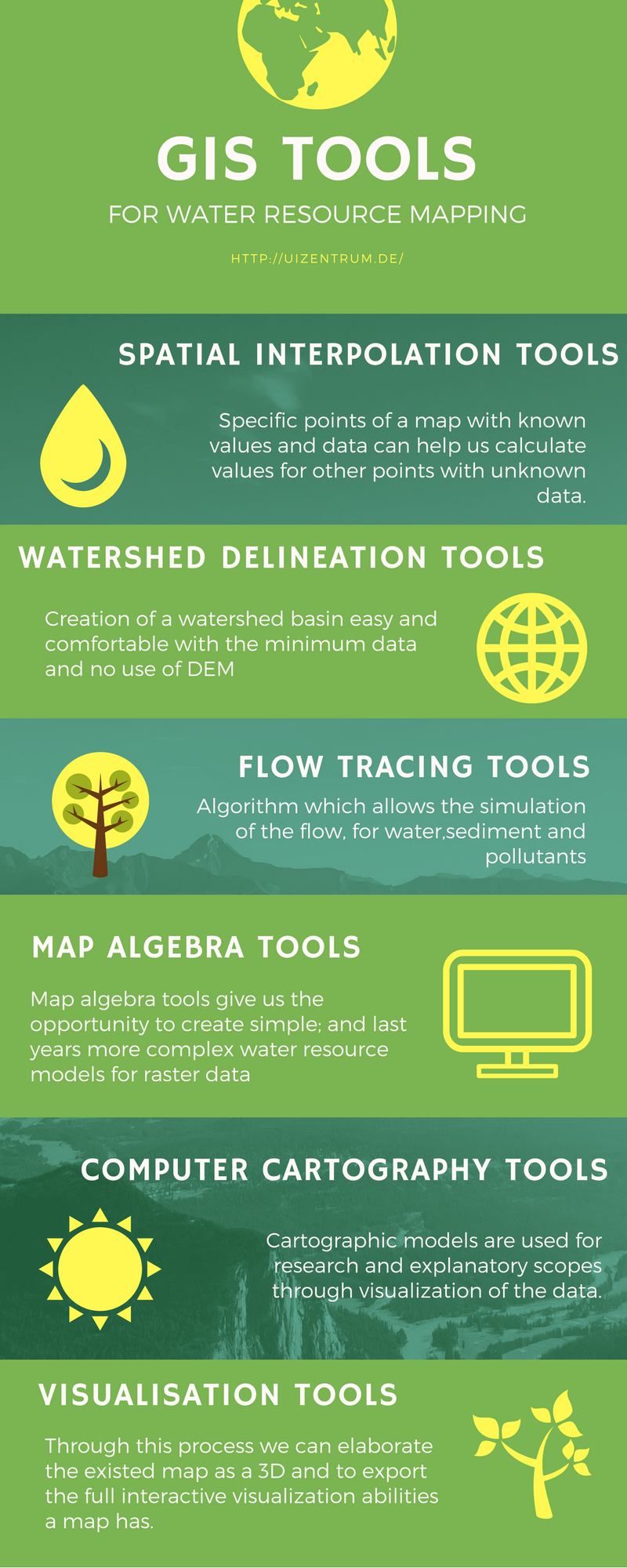
GIS is the key program for water resource mapping. It offers great new tools for collection, storage, elaboration, management and display data, simulation models and interactive maps, not only for the water resource mapping field but also for other sectors of the environment. We can combine in layers enormous amount of data, geographical and statistical and the expected result will be impressive. Importing the geographical data in the GIS database will give us the first layer which constitutes the basic map. Subsequently, we can import statistical data which may contain information such as, number of residents in each area, number of wells, quality parameters, historical data on withdrawals etc. When all the layers are done, the map is ready and except showing the visualized data, we can create models to foresee possible future water events. Some more applications of GIS water resource are:
The estimation of the runoff based on the ground slope, the amount of participation in every area etc.
Creation of maps showing the precipitation distribution surface of the rhythm at which snow is melting.
Velocity, direction, concentration and time of water flow for rivers or precipitation runoff.
Groundwater flows a rhythm of drillings and recharges and the level of the aquifer.
Remote Sensing for Water Resource Mapping
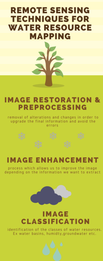
Remote Sensing for water resource mapping
Remote sensing gives us the opportunity to use multi-temporal satellites and the new updated Synthetic Aperture Radar sensors (SAR), which allow us to have pictures of the earth even if there are clouds or to detect water when is stagnant between emergent aquatic plants and forest canopies. Water exposed on the surface can be detected using visible, infrared and radar images, while freshwater entering natural basins needs thermal infrared sensors. With regard to the soil humidity, microwave radiometers and radars are the best solutions whereas the storage of groundwater is estimated by gravitational surveys. Among the others, with remote sensing, we can exploit the following applications:
Water resource mapping related to the evapotranspiration in a specific area and compare the evolution in the years. This process may include data such as the water crops use across the landscape or the water evaporation during the irrigation and much more statistical data related to Hydrology.
Underground water resource mapping, drills and the progress of water consumption depending on the withdrawals and recharges.
Observe the condition of icebergs in the years, drawing conclusions for the level of rivers, sea, and lakes.
Decision making to minimize the influences of all the above possible changes.
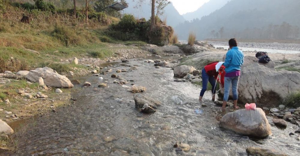
Moreover, remote sensing for water resource mapping is nowadays much more convenient and cost-effective. The images and maps of the earth we take from the satellites can be used for various applications through them and we can export any data. This means fewer measurements with conventional methods and consequently less effort, time and cost.
Which is the Best Science for Water Resource Mapping Finally?
The best answer to this question is both. GIS complements the disadvantages of remote sensing and backwards. As a result, we take integrated surveys and techniques not only in water resource mapping but also in other related fields and the whole environment generally. Their combination helps in detection, monitoring, and treatment of all kind environmental problems and the existence of trained professionals will help in the further development of science.
With years of experience in the field of GIS, Remote Sensing, and environmental surveys provide qualified staff drafting projects related to Water Resource Mapping with the best results. For more information, you can call us at +49-30-20679130.
