FLOOD FORECASTING SYSTEM TOOLS

Use of Digital Elevation Model in GIS (DEM in GIS)
May 1, 2018
Sources for Geodata Mining
May 3, 2018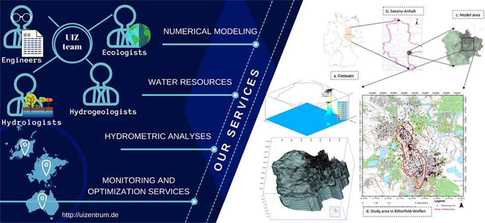
Last years the need to forecast both weather and floods is more imperative than ever. Intensive weather phenomena with even more intense floods and disasters occur every year around the world, reminding us that we must do something about that. This need has led scientists in the creation of flood forecasting systems about the weather and consequently to anticipate and prevent such disasters. The greenhouse effect, the ozone hole, the urbanization which caused over-development in the cities as well as the lack of infrastructure, all these led to a gradual increase of floods. But let’s start from the beginning.
“TOOLS” USED TO DEVELOP A FLOOD FORECASTING SYSTEM
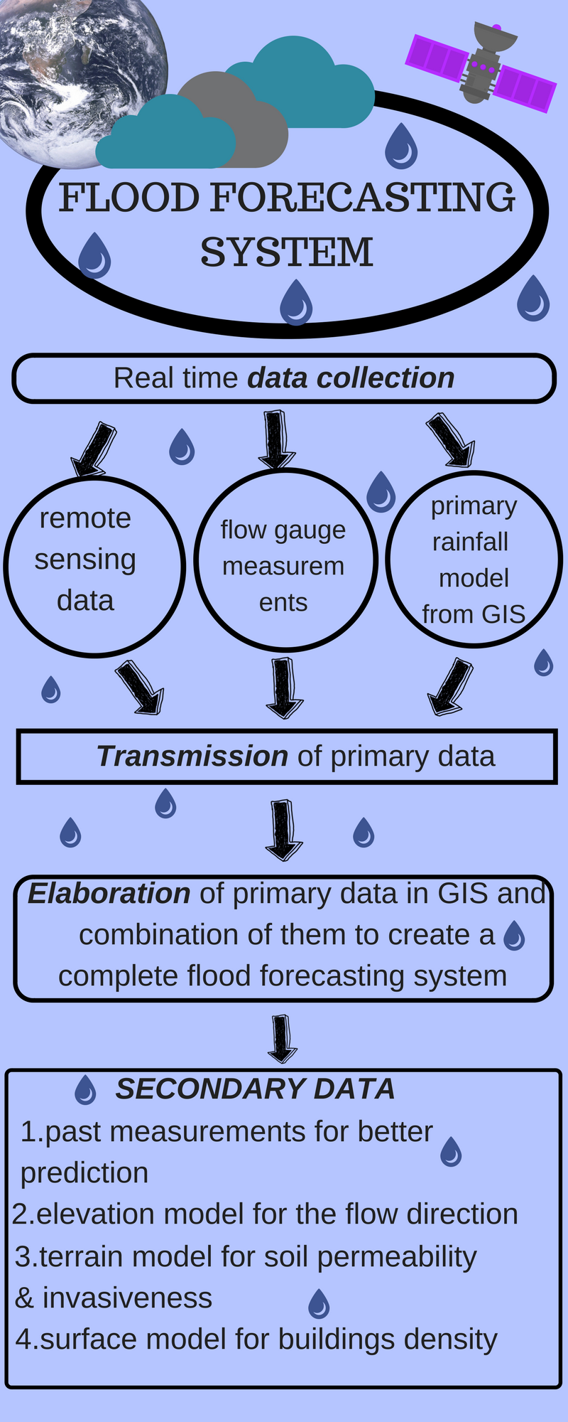
REMOTE SENSING
Nowadays remote sensing and its satellites have evolved very much. They provide data for up to 10 days later while the spatial resolution has been reduced far enough to reach 10-15 meters of terrestrial capacity. Moreover, ground-based sensors created, placed in the ground for onsite measurements, however, they are intended only for measurements around the sensor because of their fixed location. Flood forecasting system made the first and most basic steps for its evolution through remote sensing, although this specific science is not enough for a complete flood forecasting system, even today which still has to fill in voids in this field.
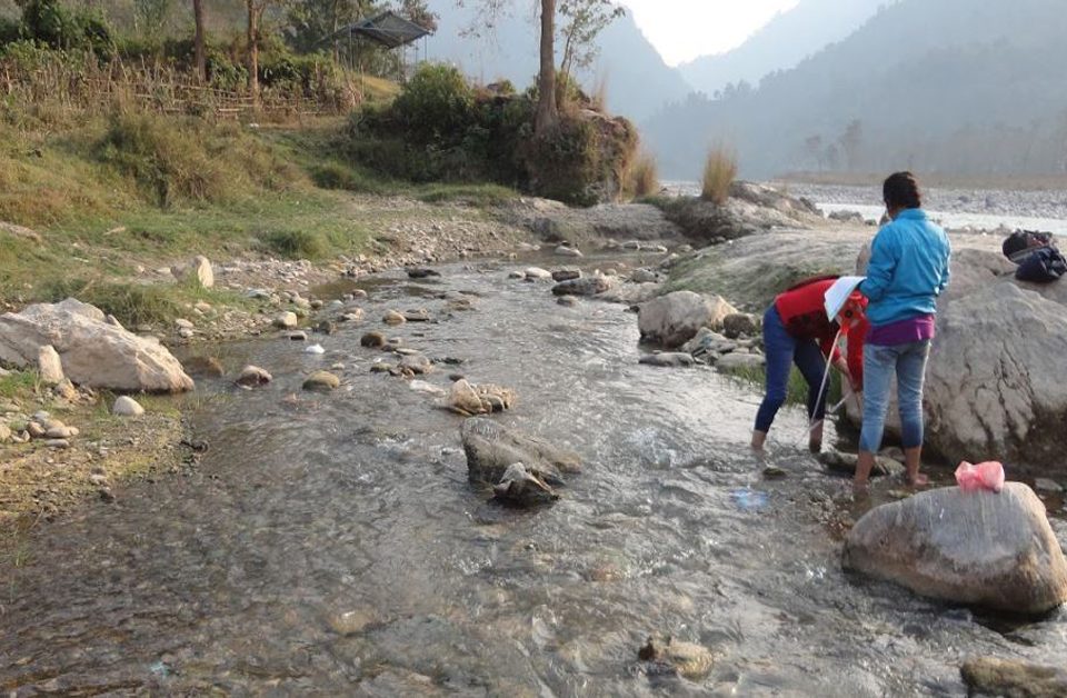
FLOW GAUGE RATINGS-THE FURTHER DEVELOPMENT OF A FLOOD FORECASTING SYSTEM
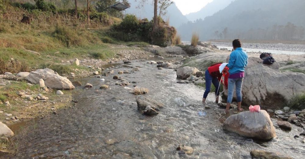
Later, when it was discovered that remote sensing was not enough anymore for flood forecasting system, a new method came to help us understand better and deeper our data. Flow gauge ratings gave us the opportunity to receive in situ data and keep a record of them for later years and predictions. Flow gauge ratings are instruments placed on the inner side of a river and in several depths in order to measure the level of the water, the flows, and the water discharge. Water quality parameters are also counted through flow gauge, and all these data are being analyzed by scientists to extract conclusions about water basins.
So, flow gauge constrains a rating curve during the measurement of the flow, which serves many hydrology tasks. The measurement includes the amount of water discharge, water velocity etc. and scientists can calculate indirectly the volumetric streamflow. Hydrologists are the only experts to determine the rating curve. Flood forecasting system went a step further with these instruments, which have the ability to keep a track of the data, as well as to coordinate with remote sensing data for better results.
GIS-THE LAST STEP. FINALIZING A FLOOD FORECASTING SYSTEM
GIS is here to serve one more application and widen our knowledge about flood forecasting system. It has the ability to visualize data in a 2D or 3D format in order to have a spherical view of the flood forecasting system. In GIS we can create digital elevation models to see which way water flows are going to follow, digital terrain models to check permeability and other parameters of the soil, digital surface models to see the obstacles which are going to meet water flows in their way, as well as to count the velocity of water flow when meeting an obstacle. Furthermore, we can also create models about evapotranspiration, rain density according to meteorological data, population density, drainage system etc. These are just some of the applications we can have through GIS about flood forecasting system, and each of them plays a major role in such studies. Moreover, mathematics algorithms provided by GIS help us calculate other important parameters.
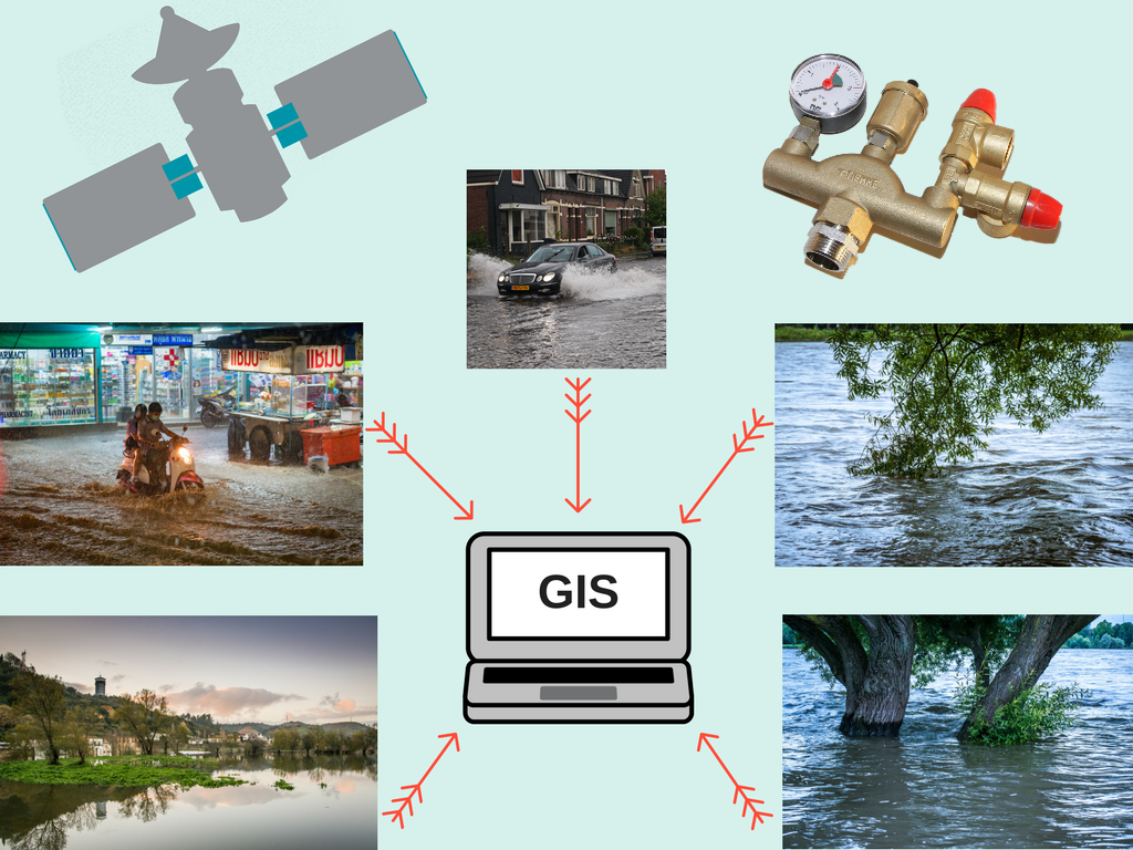
It is obvious that GIS completed the research about a flood forecasting system, providing many tools and applications to calculate, map and visualize data and to make people understand what they did wrong and what they should change. On its first steps in science, it was standing alone trying to be developed. Some years later some digital models had already established. And then other models, and algorithms and so on. Nowadays GIS is not alone! It is combined with remote sensing as well as flow gauge ratings and the results are unbelievable. In-situ and ex-situ measurements, modeling, algorithms, remote imagery, all these contributed to great flood forecasting systems. People have no excuses anymore to avoid preventing floods and disasters.
UIZ Company undertakes projects in the wide range of hydrology such as flood forecasting systems and flow gauge ratings, GIS, remote sensing and all the parameters which can be determined through the above sciences. For more information call us at +49-30-20679130 or visit UIZ web page.
