Remote Sensing for Forestry Mapping
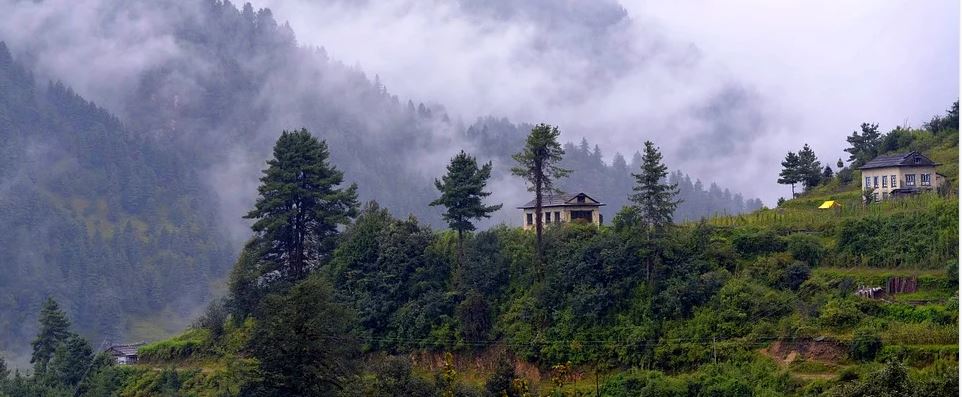
Forestry remote sensing is often required by government and commercial agencies to perform value assessments for certification and funding, policy recommendations and regulatory compliance. UIZ provides your own up-to-date maps with your own desired scale in the fields of forest management, watershed management, desertification combat, biodiversity management, environmental monitoring and evaluation along with many other services.
Often the forest cover data and maps available with the private and governmental agencies is too old to be reliable. UIZ’s remote sensing professionals can help you in generating your own up-to-date maps with your own desired scale. UIZ uses remote sensing technologies in the fields of forest management, watershed management, desertification combat, biodiversity management, forest monitoring and evaluation along with many other services.
Forstwirtschaftliche Kartierung
Remote Sensing Forest Applications Being Offered at UIZ Include:
- 1. Forest spatial data information portals
- 2. Species level classification and biodiversity forestry mapping
- 3. Detection of change in forest cover
- 4. Identification of sites for eco-restoration
- 5. Forestry mapping of plantations and zonal mapping
- 6. Ortho rectification, haze removal, NDVI, deforestation, forest management and fire mapping, etc.
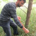
Dr. Jay Krishna Thakur performing tree sampling and ground truthing.
This page is also available in:

