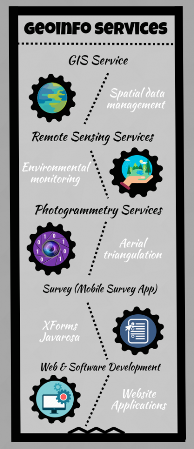
Geoinfo Services
One of the most profitable services that UIZ is offering, are services in Geo informatics field. The reason for this are efforts that World leaders are putting in the environmental preservation projects, which are driven by technology. Here are services in which UIZ had big contribution:

1. GIS Services
UIZ provides GIS services with a comprehensive solution for spatial data management to government and industrial organizations through the use of our extensive GIS Remote Sensing Services. The competition among GIS service providers is very high, but there is one attribute that distinguishes our company from others: our software is tested and approved in one of the environmental areas threaten to be devastated, in South Asia.
2. Remote Sensing Services
This service brings together powerful models, methods, and systems that have been used and developed under one name, Remote Sensing. This technology is developed for the purpose of environmental monitoring. The new methods used in Remote Sensing are leaving the laboratory setting, and some of them are already applied worldwide, what makes this technology very profitable phenomenon in business. The newest technology used and related to this technique are drones- flying devices on a remote control.
3. Photogrammetry Services
Photogrammetry as self-explanatory as is the terminology simply means a 3-dimensional coordinate measuring technique fundamentally using photographs. The basic principle applied in photogrammetry is called Aerial triangulation. Aerial triangulation means taking photos from at least two points on the object or surface. This technology allows adding deepness and other 3D features to a captured sequences (photographs). UIZ used this technology in many GIS-related projects implemented mostly in South Asia.
4. Survey (Mobile Survey App)
The company uses latest platforms for developing mobile survey application, including XForms, Javarosa, Android Studio and similar. The feedbacks are processed and reports are generated in Excel file, prepared for further data visualization. The data types that can be collected by our application are GPS coordinates, audio sequences, visual data, dynamic data, numeric data, streams, pictures, videos, barcodes and many other. All this feature make our application very flexible what implies the fact that it can be used anytime and anywhere.
5. Web & Software Development
UIZ offers a wide range of services in this field, including Domain Name Registration, Website Design, Search Engine Optimization, Social Media Marketing, Mobile Application Development, web-based application, web-based GIS called EMAIV (Environmental Monitoring, Analysis and Interactive Visualization software), and one of the products sold worldwide- Land Use Planner software (LUPWY).


