Lambert Azimuthal Equal-Area (LAEA) Usage and Conversion

Role of GIS IN Corona-Pandemic
May 28, 2020
Enhydris written in Python and Django for Hydrometereological Data visualization in a WebGIS server
July 15, 2020
This article gives an overview of Lambert Azimuthal Equal-Area (LAEA) Projected Coordinate System and provides a conversion procedure guide.
Lambert Azimuthal Equal-Area (LAEA) Projected Coordinate System
The LAEA is a Projected Coordinate System in which the globes surface is flatten into a disk. In cartography, this projection is widely used for the creation of maps where the true sense of direction is maintained from the center and the true area of individual polygons is preserved.
Projected Coordinate System Features.
- Projected Coordinate System name: ETRS89/LAEA Europe.
- Latitude of Center Parameter: 52.
- Longitude Parameter Center: 10.
- False East Parameter: 4321000.
- False North Parameter: 3210000.
- Geographic Coordinate Systems: ETRS89.
- Datum: European Terrestrial Reference System 1989.
- Projection name: Lambert Azimuthal Equal Area.
- Unit: Meter.
- Authority: 3035.
The European Environment Agency (EEA), which provides independent information on the environment, recommends the use of LAEA projection for statistical analysis and map display within Europe.
To work with Geographical Information Data with the LAEA projection characteristics, this article describes the tools for its usage and the conversion procedures from any Coordinate Reference System (CRS) to LAEA projection.
LAEA projection conversion procedures
The conversion procedures from any CRS to LAEA projection will be described using the software QGIS and ArcGIS.
QGIS
- Open a new Project in QGIS.
- Open the File.
- Export the file with the desired CRS.
Right click on the file → Export→ Save Features As… (Figure 1).
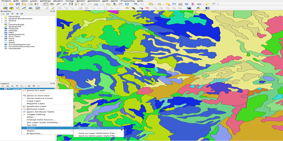
Figure 1 LAEA Conversion in QGIS.
- Save Vector Layer as... window (Figure 2)
Format: ESRI Shapefile.
File Name: Add the name and location of the vector.
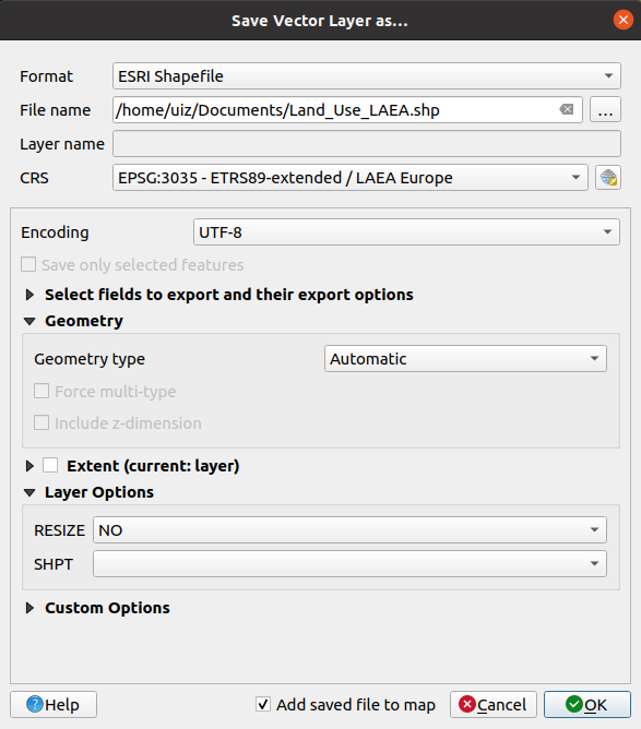
Figure 2 LAEA Conversion in QGIS.
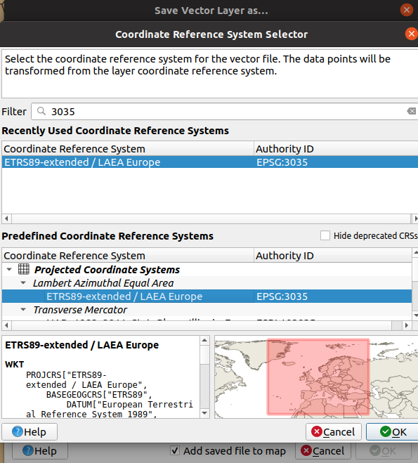
Figure 3 LAEA Conversion in QGIS.
- The new Vector Layer is the Location already given in the “Save Vector Layer as...” window (Figure 4).
- It is recommended to open a new project to work with the new Vector Layer.
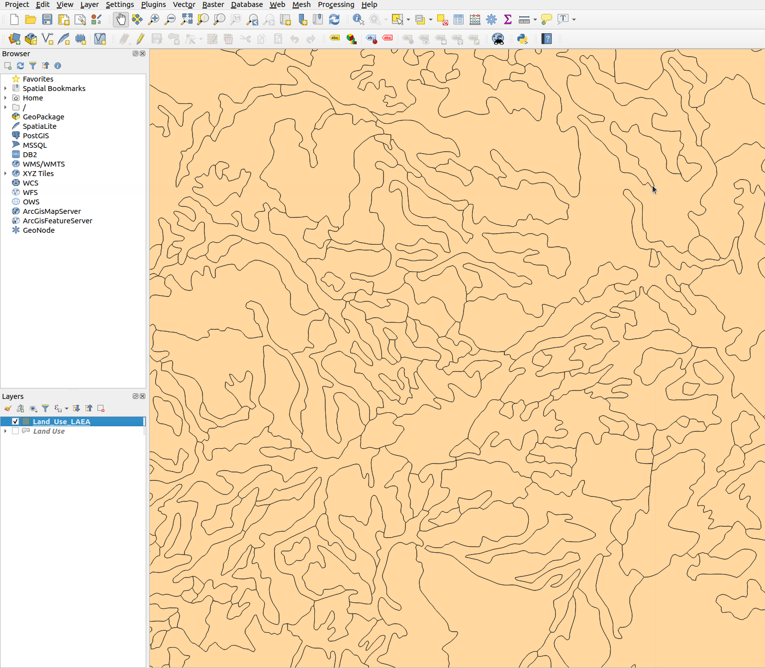
Figure 4 LAEA Conversion in QGIS.
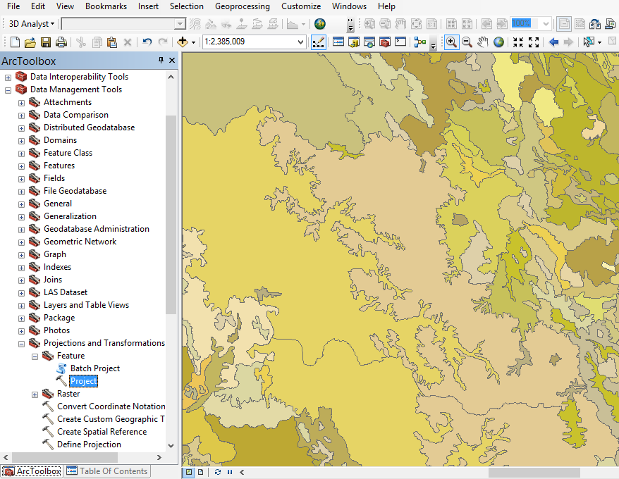
Figure 5 LAEA Conversion in ArcGIS.
- Project Window (Figure 6)
Input Dataset or Feature Class: Select the desired file to make the conversion.
Output Dataset or Feature Class: Add the name and location of the vector.
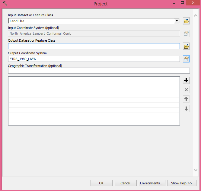
Figure 6 LAEA Conversion in ArcGIS.
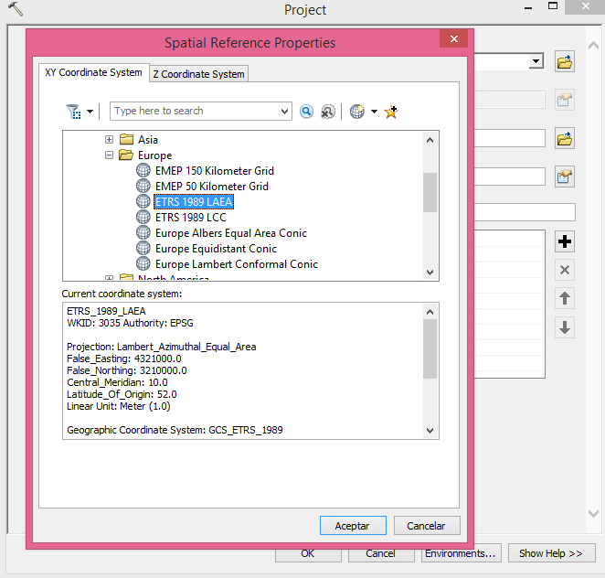
Figure 7 LAEA Conversion in ArcGIS.
- The new Vector Layer is the Location already given in the Project window (Figure 8).
- It is recommended to open a new project to work with the new Vector Layer.
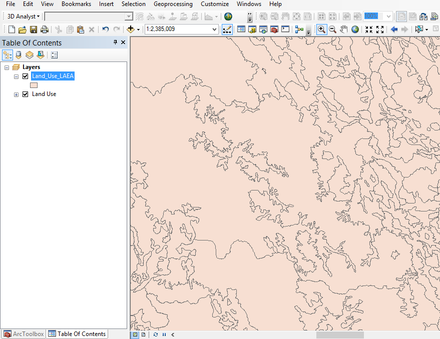
Figure 8 LAEA Conversion in ArcGIS.
Limitations of LAEA projection
The LAEA projection does not represents angles in an accurate way. Moreover, this projection distorts distances, directions, and shapes. Only in the projection center the scale and directions are true. Its distortion pattern is generally radial.
The LAEA projection can be displayed in the entire globe but its practical utilization is typically limited to a hemisphere in extent.
This article provides an overview of the LAEA projection, the tools for its usage and its limitations. Furthermore, a detailed step-by-step conversion procedure in QGIS and ArcGIS is shown. In addition, this document aims to support and to ease any user within the transformation process with and illustrated guide.
The “Umwelt und Informationstechnologie Zentrum” UIZ has many years of experience with the management of LAEA projection but as well with the development of projects in which this projection is optimal.
For more information or other services, please contact us.Address: Keibelstraße 38, 10178, Berlin, Germany.
Phone: +49-30-20679115
+49-30-20679119
E-mail: [email protected]
Web Page: www.uizentrum.de


