

Project Description
Client
 HEMS, Kathmandu, Nepal
Date
 Ongoing
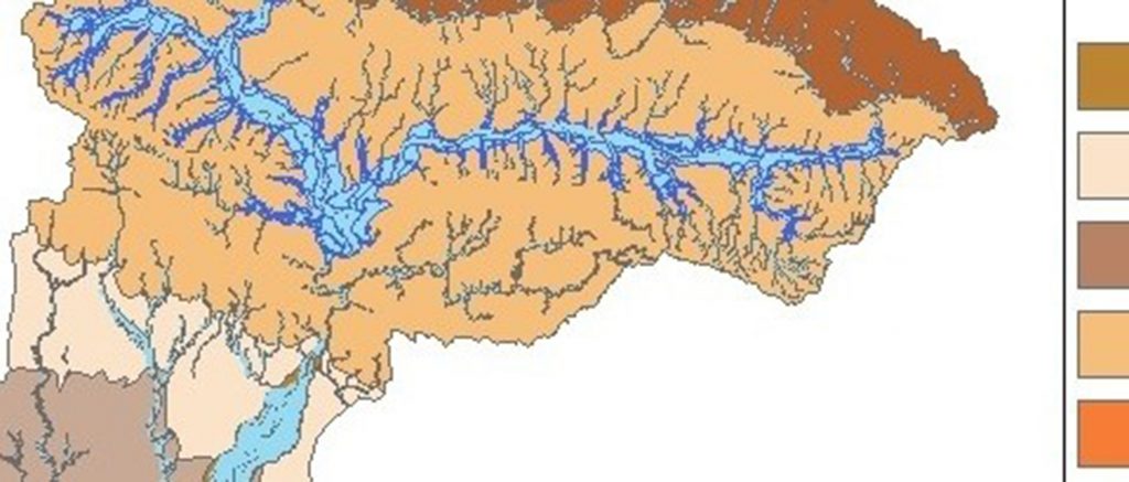
The project aim to delineat groundwater potential zone in the hardrock terrain of Nasik District, Maharashtra, India. In this study, thematic information like geomorphology, lithology, drainage density, slope and lineaments were incorporated in a GIS environment in order to identify groundwater potential zones. The methodology adopted was be used as a rapid assessment tool in groundwater exploration and is helpful in predictive groundwater resource management. Project area with a geographical area of 15 530 km2 was located at Nasik District Maharashtra, India. The project was coordinated by Dr. Prafull Singh.
This page is also available in:

