Remote Sensing of Environment for Water Quality Monitoring

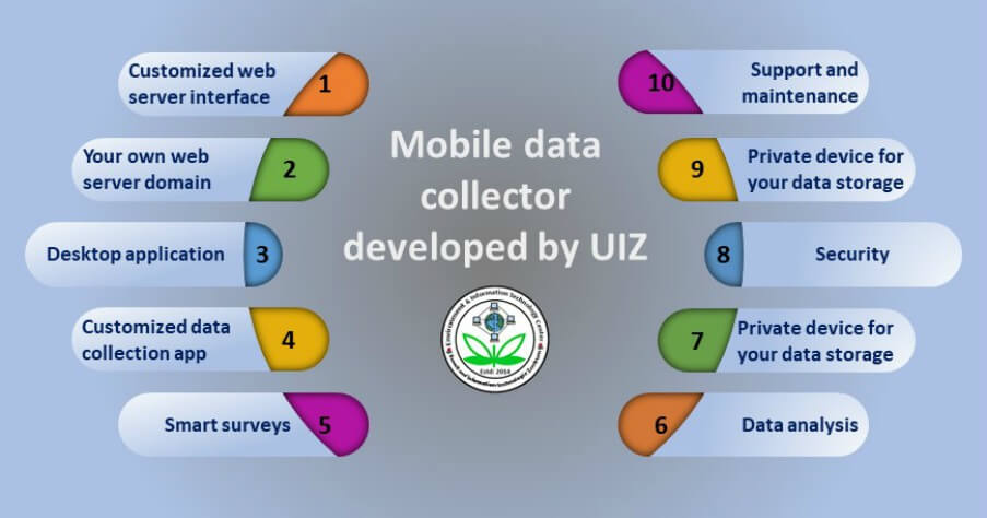
7 Useful GIS Tools for Water Drainage Determination
November 1, 2017
Water Resource Mapping – Methods
November 11, 2017
The Meaning of Remote Sensing
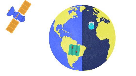
Remote sensing of the environment is the science through which we observe the earth from a distance and obtain information about objects or areas. The pictures we collect from satellites or aircraft through the appropriate elaboration can give us crucial geospatial information about the land we study. Together with that, we can also study the changes occurred in the years, the understanding of international climate and through this progress to take decisions about the environment.
The technology used by remote sensing of environment involves methods that employ electromagnetic energy as radio waves to the earth and depending on the item absorbing the radiation; we have different spectral curves which give us information about the item and its condition. Through this method, we can observe, foresee and mitigate volcanic eruption, floods, landslides and environmental disasters while we can also develop aquifer, mineral ores, fossil fuels and of course monitoring of water quality.
data recording from satellite
Natural water bodies such as seas, lakes or rivers usually contain suspended sediments; chlorophyll, oxygen and many other components and according to their concentration can change the composition of water and may cause wider problems to the environment, the sea life and even the human. With remote sensing of the environment and the sensors which have better spectral and spatial resolution placed in boats and satellites, monitoring of water quality is pretty easier and a good reason to eliminate pollution nowadays when the need for clean water is bigger than ever.
Coming to the point, it would be expedient before doing anything, to categorize what kind of water we have. For example, river water has a very small amount of salinity but usually much-suspended solids, in contrast with the seawater which has big salinity and the suspended solids may vary. This means that first, we need to have as granted the spectral signatures of clean seawater, clean river water etc. Subsequently, we need to know which of the parameters can be measured by remote sensing of the environment and which of them need another type of measurements. It is obvious that some of the components do not have the capacity to absorb and reflect the radiation, therefore they can’t change the spectral signature and as a result, they can’t get measured. In that case, the presence of in-site sensors is mandatory, in order to measure all these parameters which cannot be measured by remote sensing of the environment.
The First Equation Governing Remote Sensing
The earliest technique measuring spectral and thermal differences in emitted energy from water is governed by the equation:
Y =A +BX or Y =ABX
(Y=remote sensing measurement, X=water quality and parameters A, B = empirically derived factors)
The equation describes the relationship between the spectral properties and the water quality and was established by Ritchie et al. (1974).
Remote sensing of environment measures usually suspended solids, algae and chlorophyll, aquatic vascular plants and temperature which are the major pollutants of the water environment. All the other parameters even if they cannot get counted directly, we can have an estimation about their concentration
Remote Sensing of Environment for Suspended Solids
The next approach, more analytical and based on the optical properties of water developed from Schiebe, Harrington et al. (1992) who correlated the spectral and physical characteristics of the surface water.
Ri =Bi [1-e(c/Si)]
(Ri=reflectance, c=concentration, Bi= reflectance saturation level, Si=concentration parameter equal to concentration)
The above equation is widely used for the estimation of suspended sediments.
Remote Sensing of Environment for Determination of Chlorophyll
As it is well known, chlorophyll is the first and main
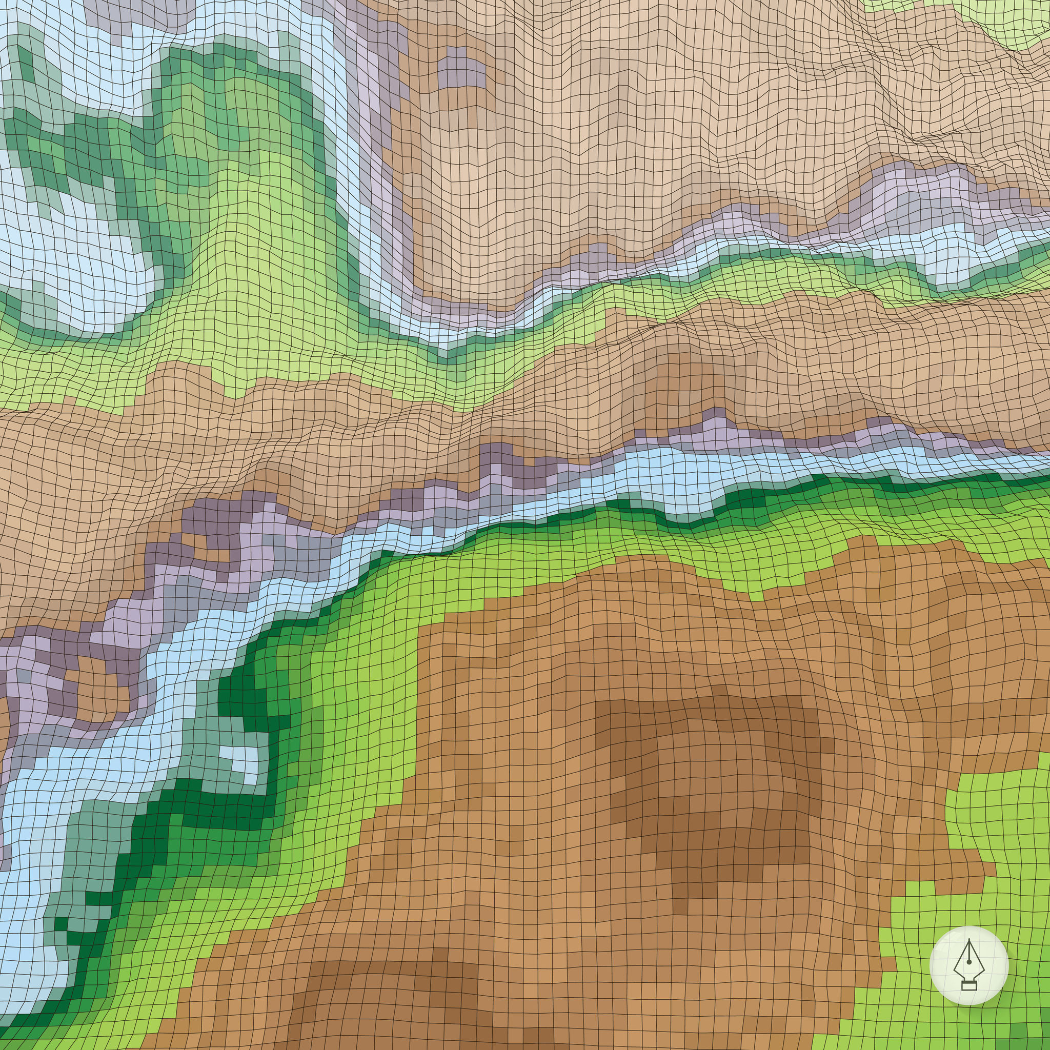
Depiction of an area through remote sensing
ingredient of green plants. It is the component which gives them color and life. However, a big concentration of chlorophyll in the water can cause eutrophication which results in reduced oxygen. Red and blue wavelengths are absorbed while the green wavelength is reflected when chlorophyll is healthy. Moreover, using remote sensing of the environment and the spectral curves, we can find out what is the quantity of chlorophyll in the water. Comparing the spectral curve of clean water – according to the law and category – with the spectral signature given by the sample of water, we can draw conclusions about the concentration of chlorophyll.
Remote Sensing of Environment for Determination of Temperature
With regard to the temperature, maybe the most important parameter as it affects the whole water ecosystem, we use the thermal band in order to identify industrial discharges into streams, rivers, lakes etc. Moreover, we observe the spread of hot water in the natural tank, as well as the consequences left behind. The emitted temperature is measured in three spectral zones of 3.7μm, 10.5μm και 12μm. Errors can exist due to unexpected clouds, water vapour and aerosol but it is less than ±0.6ο Κ.
As we can see remote sensing of the environment is a technology raggedly developed which affects many aspects of our life and especially the environment which is at the most critical stage and we have to protect it.
UIZ is a company with a focus on environmental problems and their solutions through remote sensing techniques, GIS, photogrammetry, analysis of geospatial information etc. To learn more visit the page UIZ remote sensing, or call us at +49-30-20679116

