Customize Consent Preferences

We use cookies to help you navigate efficiently and perform certain functions. You will find detailed information about all cookies under each consent category below.

The cookies that are categorized as "Necessary" are stored on your browser as they are essential for enabling the basic functionalities of the site. ... 

Always Active

Necessary cookies are required to enable the basic features of this site, such as providing secure log-in or adjusting your consent preferences. These cookies do not store any personally identifiable data.

No cookies to display.

Functional cookies help perform certain functionalities like sharing the content of the website on social media platforms, collecting feedback, and other third-party features.

No cookies to display.

Analytical cookies are used to understand how visitors interact with the website. These cookies help provide information on metrics such as the number of visitors, bounce rate, traffic source, etc.

No cookies to display.

Performance cookies are used to understand and analyze the key performance indexes of the website which helps in delivering a better user experience for the visitors.

No cookies to display.

Advertisement cookies are used to provide visitors with customized advertisements based on the pages you visited previously and to analyze the effectiveness of the ad campaigns.

No cookies to display.

GIS modelling for predicting land use and forest cover change

Project Description

Client


HEMS, Nepal


Date


Ongoing


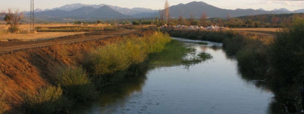
The integration of remote sensing and GIS technologies was used for describing, analysing and predicting the process of land use change in Bagmati river basin in Nepal. Mapping of soil profile was used to pinpoint gap in knowledge to utilize new and existing information so that applicable decision support systems could be devised to tailor the specific needs.

The Normalized Difference Vegetation Index (NDVI) was used in this research to study changes in land use and forest cover and predict future for the year 2018, 2023 and 2028. NDVI was used to resolve the density of green on a patch of land.

This page is also available in: German

Open chat
Hallo, wie können wir Ihnen helfen?
Morphometric analysis of Morar River Basin, India
April 6, 2015
Water Poverty in Bagmati River Basin, Nepal
April 5, 2015