Support and maintenance: Land use data dissemination system

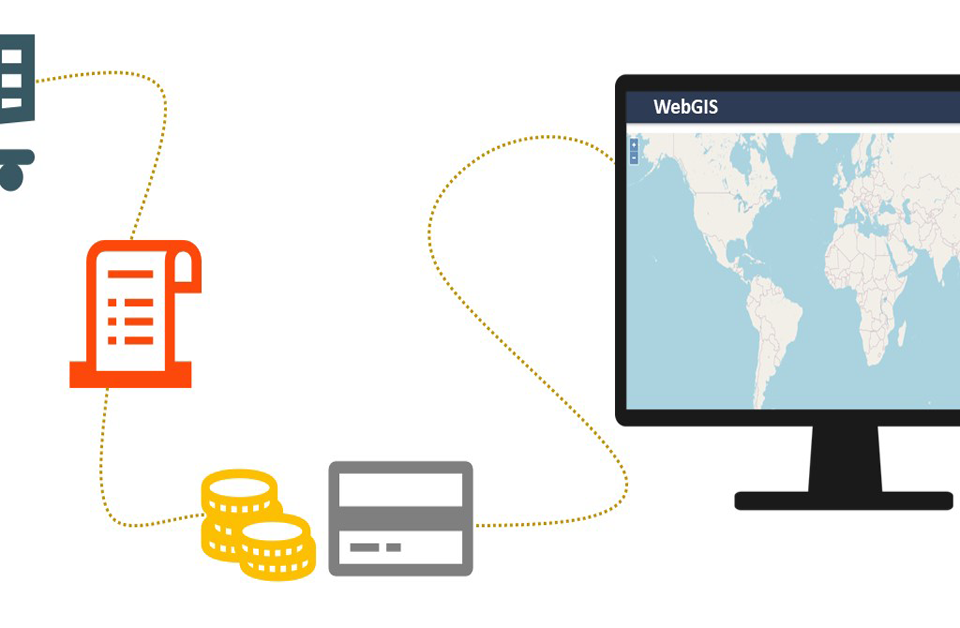
Online data purchase mechanism preparation
September 10, 2020A WebGIS platform for land use data dissemination combines the knowledge of complex GIS systems
with the standards and best practices of information technology to design and implement an end-toend system that deliver land use data services, tools and applications on the Web. This article aims to
describe the installation supporting process and maintenance of a WebGIS solution-based land use
data dissemination system.
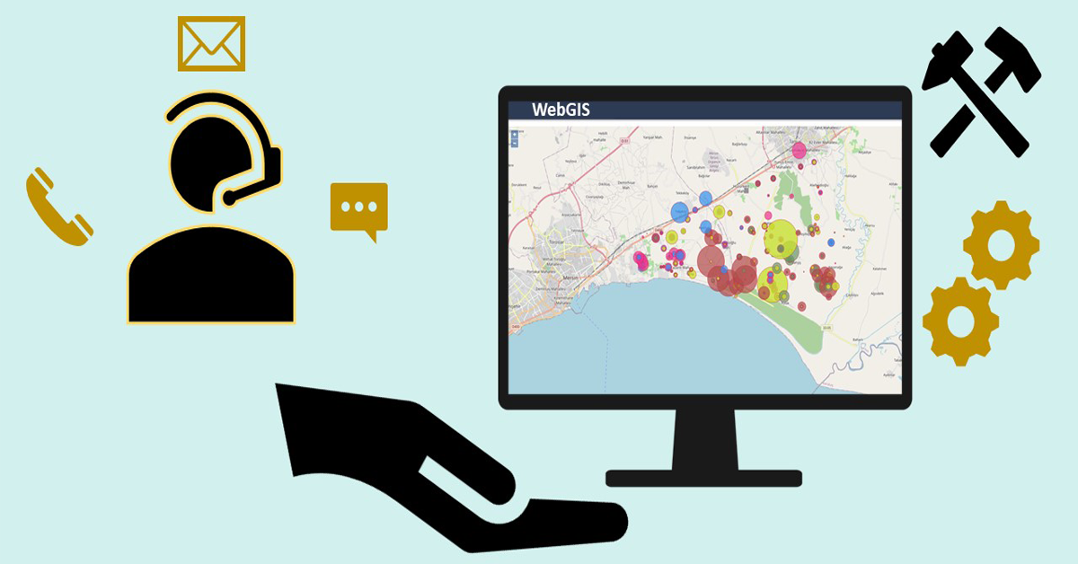
Support and maintenance
Umwelt und Informationstechnologie Zentrum can offer support and maintenance during and after
the WebGIS solution development. The associated support could be in terms of:
• User data quarry
• Catalogue validation
• Metadata management
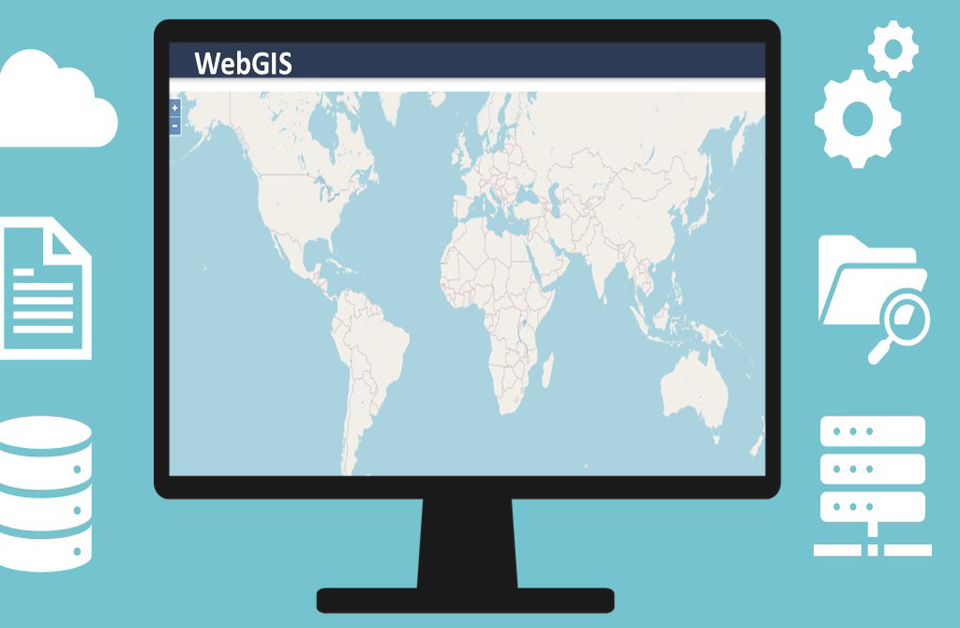
• Database management
• Order and payment verification
• Server administration and communication.
a) Requirements
• WebGIS platform-based land use data dissemination system.
• RDBMS (Relational Database Management System).
• Server.
• Administrative authorities.
b) Results:
Enhanced accessibility of land resource information to all related stakeholders and general public.
Other benefits of working with us
• We will assist you with the necessary guidance to carry out your project.
• We will train you and your team for the success of your project.
• Have access to our documentation.
• Receive immediate professional support from and expert in our team.
• Online training course.
• The best support team availability.
• We provide high quality, stable and supported service.
• We will work together in the design of your project.
We have provided the process description of a WebGIS based land use data system.
If you want to learn more about the development of a WebGIS-based land use system, we invite you
to read our previous article.
The “Umwelt und Informationstechnologie Zentrum” UIZ has many years of experience in the
development of WebGIS software. For more information or other services, please contact us.
Umwelt und Informationstechnologie Zentrum, UIZ GmbH Address: Karl-Liebknecht-Str. 34, 10178 Berlin
Phone: +49-30-20679115
E-mail: [email protected]
Web: www.uizentrum.de
