WebGIS platform-based query system preparation
WebGIS platform-based query system preparation
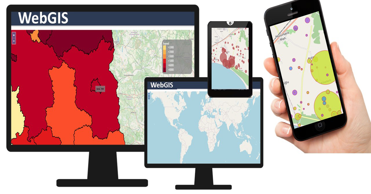
Within the activities to develop the WebGIS server, is necessary to develop a query system for instantaneous search and analysis purposes. Moreover, it is important to enable this query by drawing the area of interest in the Web interface mapping user and to enable this search according to an administrative boundary hierarchy for the user. Finally, a query and display sub classes are required to be enabled for the user.
a) Key Inputs/Data
i. Developed Web interface for data dissemination system hosted in server.
ii. Integrate maps, data and reports, such as present land use maps, soil maps, land capability maps, land use zoning maps, parcel superimpose maps, geodatabase and infographics.
iii. Toolbar window in Web interface.
iv. Data and records mask.
b) Scope
i. Drawing area of interest on the mapping Web interface.
ii. Administrative boundary hierarchy.
iii. Main class and subclasses of data.
c) Method
ERDAS APOLLO server requires to be configured for spatial, temporal and logical space query. Web Coverage Service (WCS) supports ‘intact’ delivery of rich and intelligent raster data sources, in formats such as GeoTIFF and DTED, and is usable in client-side rendering. Coverage Portrayal Service (CPS) renders graphical pictures from coverage data. The CPS will connect WebGIS application and the WCS. Once the user has built a GetMap request and a Styled Layer Descriptor (SLD) document, it sends them to the CPS. The CPS will analyze the request and the SLD and send a GetCoverage request to the underlying WCS. The WCS will return a coverage that the CPS will render by applying portrayal directives (image size, format, reprojection, classification, and so forth) found in the request and in the SLD document. It is necessary to configure the Web Map Service (WMS) to allow the user to query the server and obtain information about the data.
i. Querying
In the querying for defined parameters it is crucial to develop and integrate the Catalogue Web interface with WMS, WCS and CPS. Query parameters can be keywords, intersect, bounding box (spatial search by box defined in the OpenSearchGeo specification), orderby, start (start page index). Avanced querying can be performed in the Web interface for more than one parameter. Querying by Keyword searches in the catalogue and tries to match the given keywords against the name, title, or tags of the catalog items. Orders query function organizes result as per assigned property. The maximum results need to be set by user for displaying maximum number of results per page.
ii. Configuring Queryables in ERDAS APOLLO
It is essential to configure queryables.xml to recognize queryable elements from custom metadata in the catalogue. Similarly, apollo.aspx layout of ERDAS APOLLO geospatial portal needs to be configured for search parameters and values for catalogue search.
iii. OpenSearch
It is crucial to design OpenSearch Geo extension to define sets of spatial filtering parameters to describe Web interface search engines.
iv. Integration in the WebGIS portal
The WebGIS platform-based query system needs to be integrated with the GUI of WebGIS server.
d) Requirements
i. ERDAS Apollo Advantage.
ERDAS APOLLO Advantage is a comprehensive data management and delivery solution that provides organization, securely management, and dissemination for data within databases.
ii. Graphical user interface (GUI) for WebGIS.
The GUI allows users to interact with electronic devices through graphical icons and audio indicator such as primary notation.
iii. Relational Database Management Systems (RDBMSs).
A RDBMS is a digital database that stores data using rows and columns and is based on the relational model of data. The values within the database are related and making possible to run queries throughout tables.
iv. Computer Networking with internet connection.
To install and run the software, the WebGIS platform needs hardware components to be present on a computer.
e) Results
WebGIS server-based query system.
This article provides the process description of a WebGIS based land use data system.
If you want to learn more about the development of a WebGIS-based land use system, we invite you to read our previous article and our upcoming article in its process workflow.
The “Umwelt und Informationstechnologie Zentrum” UIZ has many years of experience in the development of WebGIS software. For more information or other services, please contact us.
Address: Karl-Liebknecht-Str. 34, 10178 Berlin
Phone: +49-30-20679115
E-mail: info@uizentrum.de
Web: www.uizentrum.de
