Installation, configuration, and upgrade of ERDAS APOLLO server

WebGIS portal development and implementation
September 10, 2020
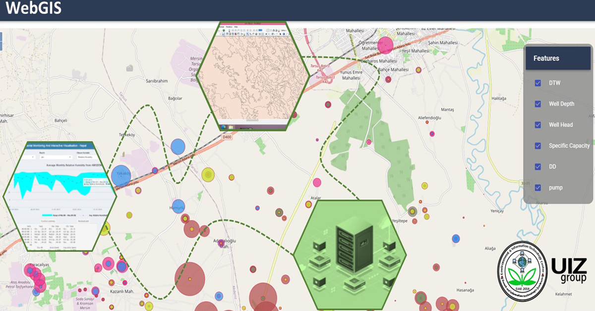
WebGIS platform-based query system preparation
September 10, 2020A WebGIS platform combines the knowledge of complex GIS systems with the standards and best
practices of information technology to design and implement an end-to-end system that delivers land
use data services, tools and applications on the Web. On the other hand, ERDAS APOLLO server is
an integrated spatial data infrastructure to manage the geospatial information. This article aims to
describe the installation, configuration and upgrade of ERDAS APOLLO server in the development
of a WebGIS platform-based land use data dissemination system.
Installation, configuration, and upgrade of ERDAS APOLLO server
In the WebGIS patform development process, it is essential to install and upgrade the spatial data
infrastructure ERDAS APOLLO.
The following inputs are vital for this activity:
a) Key input/data
a. ERDAS APOLLO spatial data infrastructure.
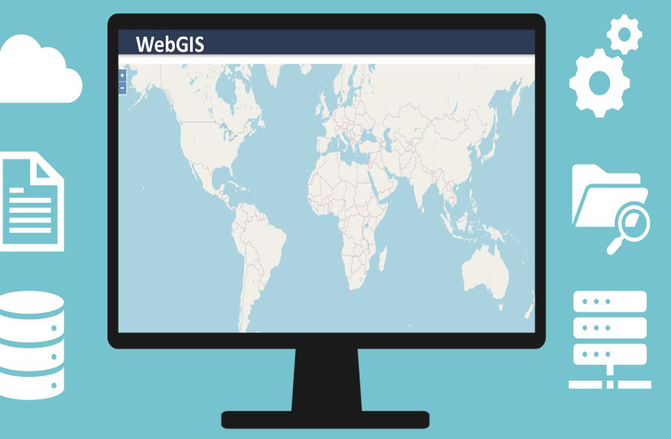
By implementing an out-of-the-box service-oriented architecture (SOA), ERDAS APOLO
delivers geospatial data with the best flexibility, enabling dissemination into any device.
b. ERDAS APOLLO data manager.
ERDAS APOLLO data manager facilitates you to remotely configure the ERDAS APOLLO server
and manage your data assets.
b) Scope
To install, configure and upgrade the spatial data infrastructure ERDAS APOLLO; to provide land
use data dissemination through the Web.
c) Method
The spatial data infrastructure ERDAS APOLLO needs to be installed, configured and upgraded to
ERDAS APOLLO2015 along with ERDAS APOLLO data manager 2015. The user data,
e.g., pyramids, metadata, etc. from APOLLO 2011 are required to be backed up to store it on another
server.

d) Requirements
a. ERDAS APOLLO spatial data infrastructure.
b. ERDAS APOLLO data manager.
c. Server for hosting ERDAS APOLLO and data manager.
d. Network devices like router, switch, etc.
e) Results
Running ERDAS APOLLO spatial data infrastructure.
The process description of the installation, configuration and
upgrade of ERDAS APOLLO server for the development of a WebGIS platform-based land use data
dissemination system are provided.
If you want to learn more about the development of a WebGIS-based land use system, we invite you
to read our previous article and our upcoming article in
the field of process workflow.
The “Umwelt und Informationstechnologie Zentrum” UIZ has many years of experience in the
development of WebGIS software. For more information or other services, please contact us.
Umwelt und Informationstechnologie Zentrum, UIZ GmbH Address: Karl-Liebknecht-Str. 34, 10178 Berlin
Phone: +49-30-20679115
E-mail: [email protected]
Web: www.uizentrum.de
