Photogrammetry and Remote Sensing with GIS

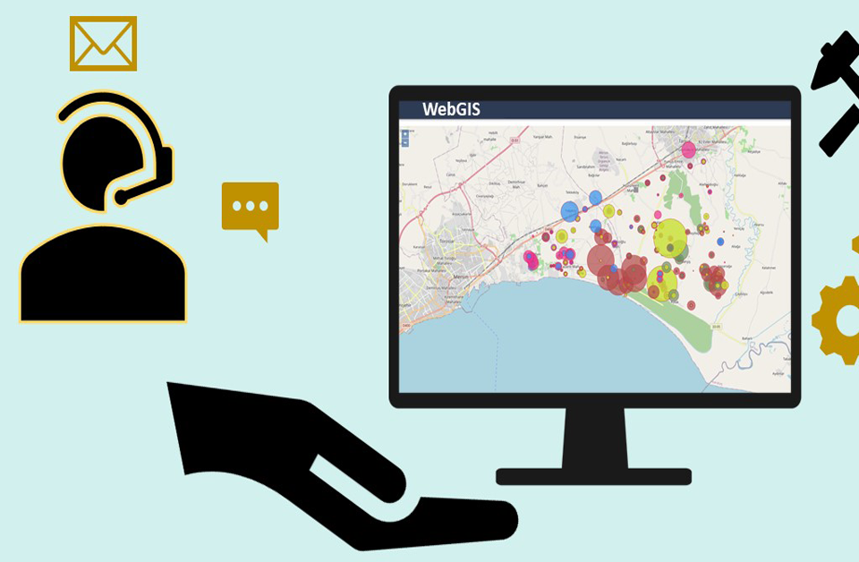
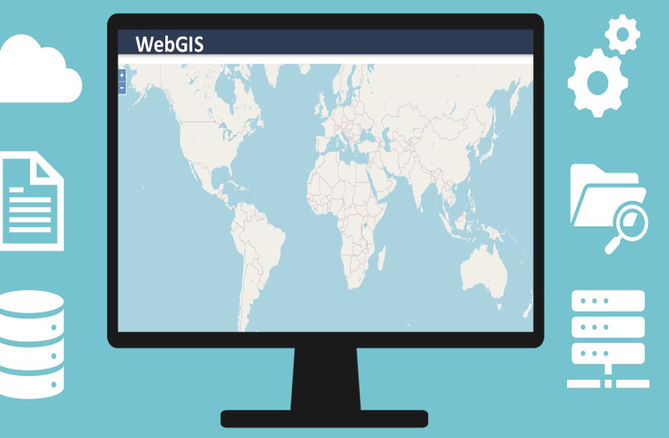
What is Web GIS and WebGIS Application
August 19, 2017
Machine-Readable Application Maps Using GIS and Geodata
October 1, 2017Photogrammetry and Remote Sensing are technologies very much applicable recently in the field of Geographical Information System, GIS which is making use of photographs to study the areas and give the quantitative measures of the photographed area. As magic, as it may sound but it is how it works and there is a slight difference between the two techniques in the sense of the processing, however, the general purpose of the two techniques are similar. Which one to use depends more on the purpose and what is the best-suited method for what you want to do as will be discussed below.
What is Photogrammetry with GIS?
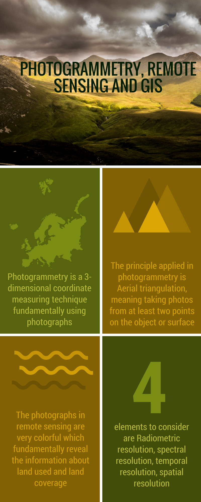
Starting with Photogrammetry as self-explanatory as is the terminology, simply means a 3-dimensional coordinate measuring technique fundamentally using photographs. The basic principle applied in photogrammetry is called Aerial triangulation. Aerial triangulation means taking photos from at least two points on the object or surface. These are also called “lines of sight” from which the 3-Dimensional coordinates of the points of interests are produced by intersecting the lines of sight mathematically.
Photogrammetry was used by Albert Meydenbauer, the Prussian architect who designed some of the earliest topographic maps. Recently, Photogrammetry is famously used in topographic mapping and widely increasing its application to architecture, medicine, engineering, geology, and other fields which need precise 3D data production. Photogrammetry can be done mainly in two ways which are Interpretive photogrammetry and Metric photogrammetry.
Types of Photogrammetry Employed with GIS
1. Interpretive Photogrammetry
Essentials on Photogrammetry and Remote sensing with GIS
This is the type of photogrammetry which is more on the studying for identification of photographic physical features such as shape, shadow, layouts or patterns which add the quality and profession to the information in the photograph. This type is done by normal photography however, you need more photos, from different angles so that you can assess the attributes of the photo.
2. Metric Photogrammetry
This is the type of photogrammetry whereby the photographs are taken with exact measurements of the attributes of the photograph including the height of features, the positioning, actual size, relative locations and many other quantitative details of the photograph. These photos are taken using metric cameras which are common in engineering fields.
What is Remote Sensing with GIS?
This technic is very similar to the photogrammetry as it also works with images to gather the information. The term “remote” comes from the fact that studying has nothing to do with physical contact or appearance at the study area or at the objects, everything is done remotely. The parting way between photogrammetry and remote sensing is the emphasis on the type of information revealed from the photographs taken. The photographs in remote sensing are very colorful and these colors fundamentally reveal the information about land used and land coverage which originally was so used to make use of the many color bands in satellite to create 2D data for GIS. Currently, we have many types of imageries to assist us in 2D data collection and derivation, for example, slopes and with software technologies, we have even more tools to portray 3PD visualization, radar, etc.
The key concepts you need to consider while dealing with remote sensing are radiometric resolution, spectral resolution, temporal resolution and spatial resolution which will be defined below;
1. Radiometric Resolution
This is the ability of the sensor to measure to capture the exact color signals and the brightness, sometimes called contrast. You need sensors which can detect the smallest fraction of reflectance of an object for more accurate results.
2. Spectral Resolution
This is the sensitivity to a frequency-range feature of the sensor. This frequency range should include visible and non-visible light and electromagnetic radiation. How this works is by having different landscapes reflecting different wavelengths which have distinct color coding and make it possible to represent the features. The more wavelengths the sensor can detect, the better.
3. Temporal Resolution
This depends on various factors like a swath of the sensor related to its footprint, the duration of the satellite to return to its spatial initial place, etc.
4. Spatial resolution
This is the ability of a sensor to distinguish two objects over the smallest possible distance. Therefore, the ability of the sensor is measured in terms of the smallest distance it can capture two different objects in a pattern and the distance is usually in metres. The smallest the spatial resolution the better the chance of producing a more quality and informative photographs.
UIZ is the company founded and run by Dr. Thakur, a geophysicist professional based in Germany and Nepal. The company deals with GIS and data capturing with Photogrammetry, Remote sensing and provides accurate analysis of geospatial information. To learn more about GIS and data capturing with photogrammetry and remote sensing, visit the page https://uizentrum.de/en/gis-services/data-capture/. For private inquiry reach us through +49-30-20679116

