Use of Geographic Information System (GIS) in Water Resource

GIS Internship in Germany
September 7, 2015
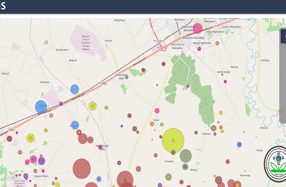
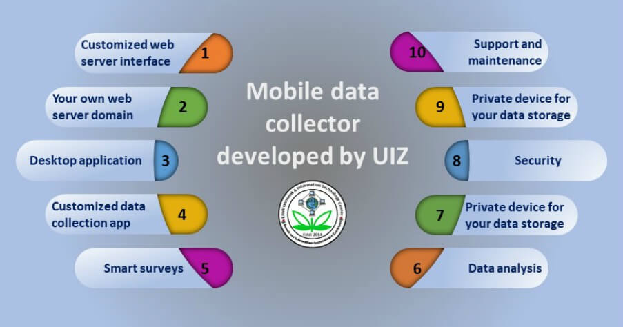
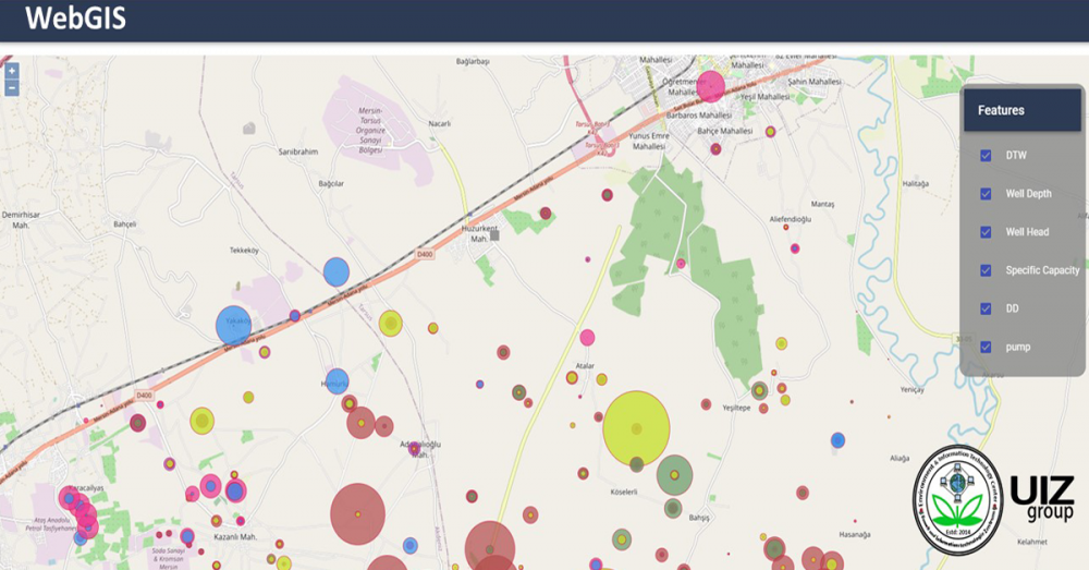
GIS to webGIS
September 12, 2015
First of all we have to increase public awareness for the application of remote sensing and Geographic Information System (GIS) in water resource monitoring and management; tough measures and dissemination of new laws in the area of water resources have made the use of advanced technologies essential and fundamental. GIS is an effective tool for managing, storing, and displaying dimensional data usually capable in water resources management. The application of GIS in water resources is automatically on the rise. In order to stress the significance of Geographic Information Systems in water resources management, applications related to this area are addressed and calculate for competent future research and development. Fundamentals of GIS are compiling and the history of the GIS evolution in water resources is debatable. Current GIS applications are presented including groundwater modeling, surface hydrology, water supply and sewer system modeling, storm water and non-point source pollution modeling for downtown and agricultural areas, and other related applications.
Most of the people are unknown about this system and technology. So, it is very important in our life. We have to learn how and why it is important for us and uses of Geographic information system in resources of water. UIZ Umwelt und Informationstechnologie Zentrum has been offering GIS application services in the field of environmental monitoring and management including water resources monitoring and management.

