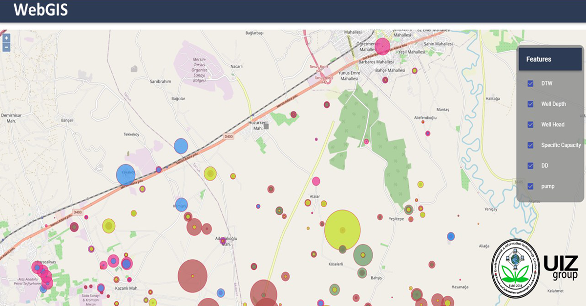
Development of a WebGIS platform-based land use data dissemination system

GPS data collection in the mobile survey app
September 7, 2020
Data preparation and modeling according to the country land use policies
September 10, 2020Resources are the basis for the development of every country in the world. Land use practice,
planning, management, and associated policy development need clear understanding of available land
and its use. A WebGIS solution act as a tool to visualize and to disseminate land use data for
researchers, planners, policy makers and public in general.
A WebGIS platform combines the knowledge of complex GIS systems with the standards and best
practices of information technology to design and implement an end-to-end system that delivers land
use data services, tools and applications on the Web. This article aims to give and overview of a
WebGIS solution-based land use data dissemination system development.
Objectives of a WebGIS platform-based land use data dissemination system.
1. To enhance the accessibility of land resource information to all related stakeholders and public
in a project.
2. To prepare a data sharing mechanism and therefore support a Spatial Database Infrastructure
(SDI).
3. To strength framework for infrastructure development and planning with reference to land use
data and maps.
Process workflow to develop a WebGIS platform-based land use data dissemination system.
1. Data preparation and modeling according to the country land use policies.
a) Harmonize all the land use database and maps in common format.
b) Harmonize the projection system of all the data sets and maps.
c) Prepare seamless data by edge matching.
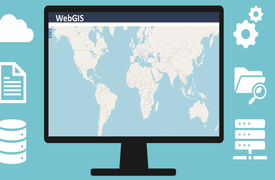
2. Installation, configuration and upgrade of ERDAS APOLLO server.
3. WebGIS portal development and implementation.
a) Maintain standard as proposed for WebGIS platform.
4. WebGIS platform-based query system preparation.
a) Prepare the WebGIS solution for deploying all land use database.
5. Metadata harvesting and online cataloguing system preparation.
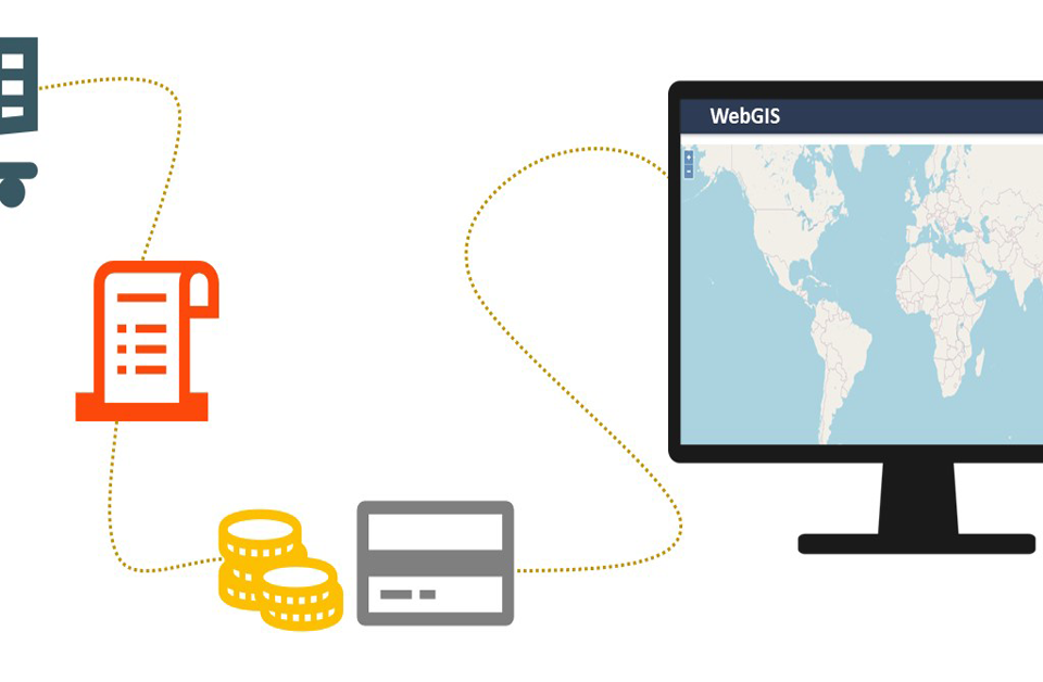
6. Online data purchase mechanism preparation.
a) Develop a mechanism for online data order and data purchase.
7. Support and maintenance
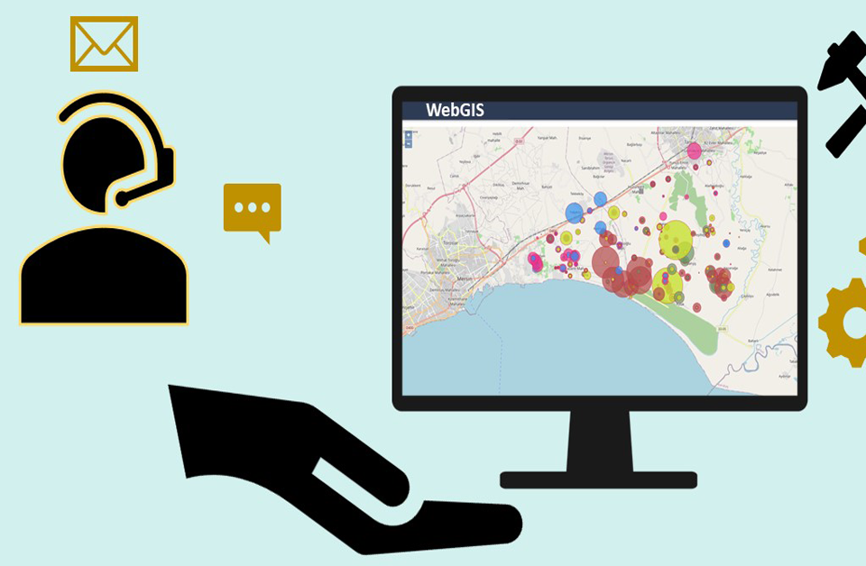
a) Provide 24/7 IT support.
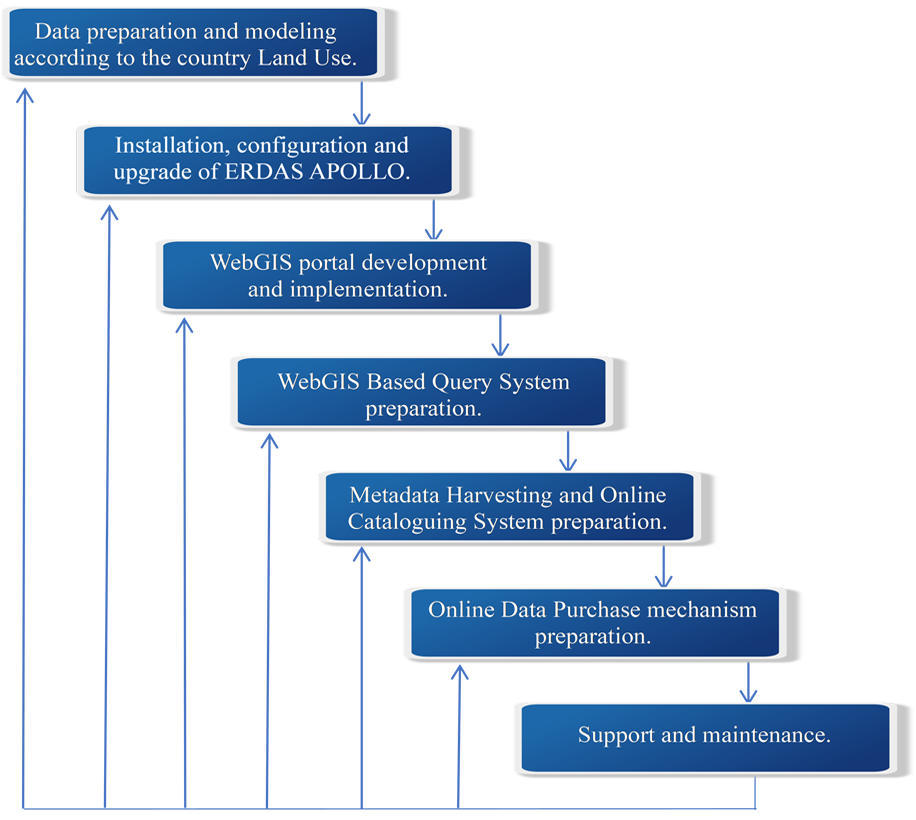
Providing you an overview of a WebGIS solution-based land use data
dissemination system development its objectives and scope. Moreover, it is shown the workflow
summary for the system.
The “Umwelt und Informationstechnologie Zentrum” UIZ has many years of experience in the
development of WebGIS software. For more information or other services, please contact us.
Umwelt und Informationstechnologie Zentrum, UIZ GmbH Address: Karl-Liebknecht-Str. 34, 10178 Berlin
Phone: +49-30-20679115
E-mail: [email protected]
Web: www.uizentrum.de
