December 2, 2017
Digital Elevation Model (DEM) Digital elevation model deals with the digital representation of earth’s surface without objects like plants or buildings on it, and from now on we will refer to it as DEM. DEM is […]
November 30, 2017
Why is GIS System Useful? GIS system gives us the opportunity to store, edit and analyze data, visualize them and draw conclusions. The abbreviation of GIS means geographic information system and belongs in the wider domain of geoinformatics. […]
November 11, 2017
Water Resource Mapping (WRM) Talking about water resource mapping the first thing we think of is where is the water? Well, it is everywhere; on earth’s surface, downstream to the aquifer, in the clouds, in our […]
November 1, 2017
The Meaning of Remote Sensing Remote sensing of the environment is the science through which we observe the earth from a distance and obtain information about objects or areas. The pictures we collect from satellites or […]
November 1, 2017
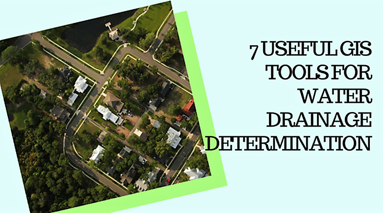
What is Water Drainage? The term drainage is referred to a very wide range of phenomena and situations. For example, it can describe the runoff degree of stormwater or the wastewater produced from a household or […]
October 23, 2017
GIS Mapping concept Geographic information system (GIS) is a geographical term-phrase for capturing, storing, manipulating, analyzing, managing and presenting all types of processed geographical data. These data being geographical data means they are spatial and represent […]
October 4, 2017
Vector Data is one of the ways to provide detailed information for GIS environment in a way to represent real-world features. A feature is anything which can be seen on a landscape including houses, rivers, lakes, […]
October 1, 2017
The technological evolution we are going through compels us to look for easier solutions to the problems and mysteries and this is possible through the advancements that we have made in the respective field. Maps have […]
September 5, 2017
Photogrammetry and Remote Sensing are technologies very much applicable recently in the field of Geographical Information System, GIS which is making use of photographs to study the areas and give the quantitative measures of the photographed […]

