GIS Mapping and GIS Maps Uses

Vector Data Capture
October 4, 2017
7 Useful GIS Tools for Water Drainage Determination
November 1, 2017GIS Mapping concept
Geographic information system (GIS) is a geographical term-phrase for capturing, storing, manipulating, analyzing, managing and presenting all types of processed geographical data. These data being geographical data means they are spatial and represent the actual locations on the earth’s surface. In GIS Mapping, the geographic data introduced above goes hand in hand with other data called the attribute data which completes the meaning and effectiveness of GIS Maps. Attribute data are the tabular details linking to the feature data represented on the map which describes the features further. A type of an example of the linking would be a village and the attributes would describe if it has a population more than 300,000 or less.
GIS is software which does more than just being software as minds and methods are put together with geospatial software and tools for enabling spatial analysis and displaying the information on a map.
How we can utilize GIS Mapping
GIS provides a platform for visualization of environment spatial data which serves as a tool in problem-solving or decision making in various fields integrating spatial relations in some way. The analysis of GIS mapping can be used to analyze the location of features and relationships to other features, how the features exist in different locations, certain features’ density in a specific location, activities going on at the area of interest, and more.
1. Mapping the locations of features
With GIS mapping, spotting the locations of features spatially on a map is possible and visualizing the spatial relations among the features. A good example of this would be a map of fertile soil-covered land color-coded on top of the map of rain coverage colour-coded for intensity. This would help to determine where would be a suitable place
2. Mapping quantities in locations
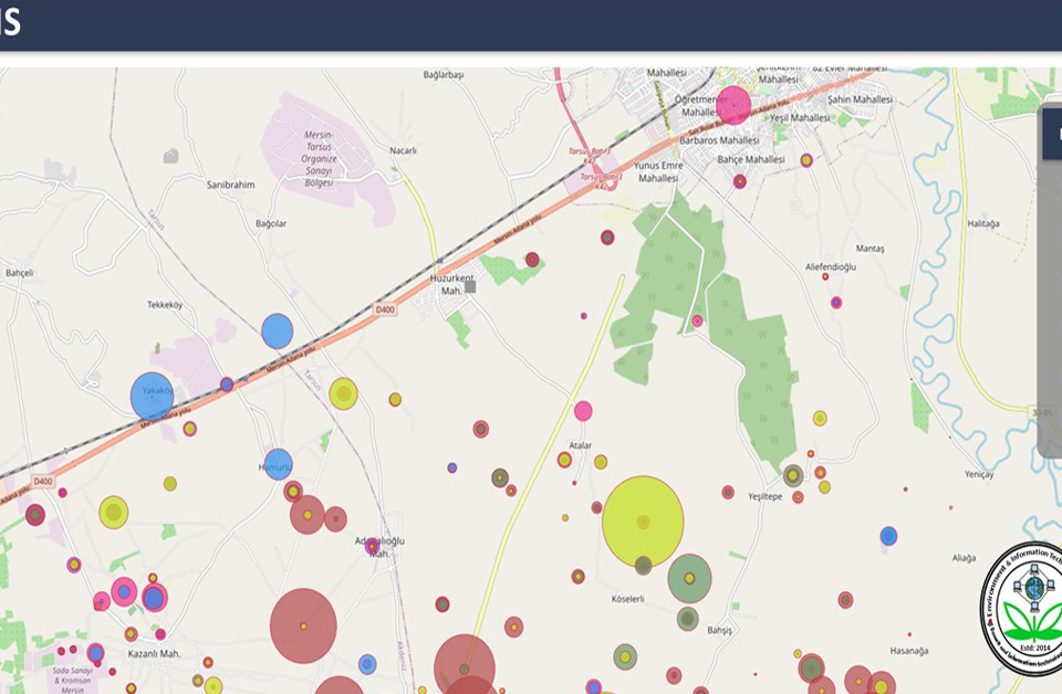
GIS mapping makes it easier for processes like measuring the correlation of two directly or indirectly relevant to each other. This involves representing where a feature is most or least available or occurring on top of the frequency of other occurrence color-coded to be differentiated. A good example would be the area leading in honey production color-coded to represent the intensity on top of the population of honey bees in the area. This opens room for decision making and research but also for planning purposes. Another example would be the population distribution in the area of interest to just show the quantity.

GIS mapping quantity
3. Feature’s density GIS mapping
In many cases, the density of some feature in an area would be required for some processes. GIS maps portray the density of a feature or in other words, the quantity of a feature in a defined area in terms of unit boundaries or square kilometres. The example would be the population of people in a specific region specified with the size in square miles or kilometre. On the map, this can be presented in terms of colors where the color is darker means the population density is a high while for the lighter colors, it would mean that the population density is lower.
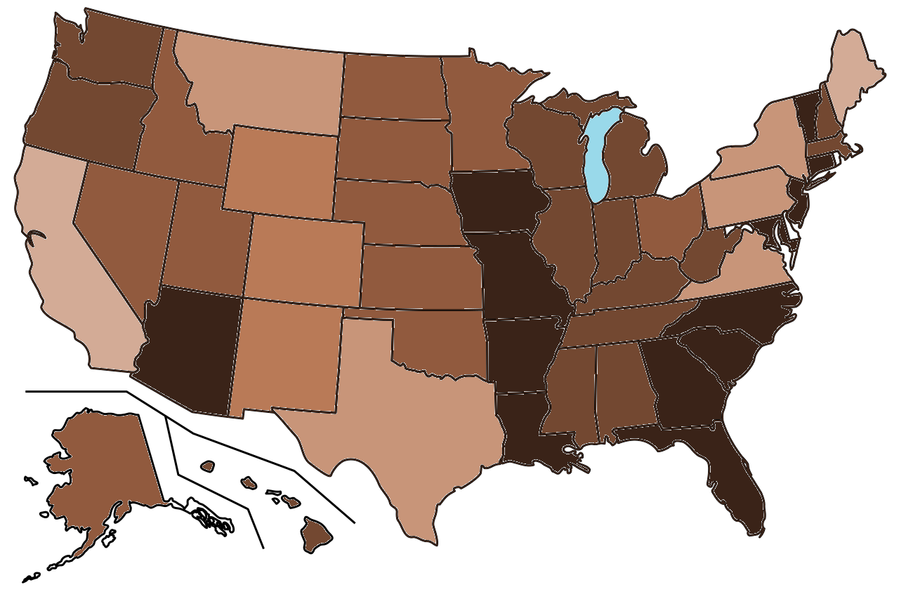
Density map of USA
4. Activities going on in the area of interest
GIS mapping can be used to portray the activities taking place in an area or what features are located inside an area of interest, could be at a large scale or small scale. The on-goings in the area of interest can be determined after creating specific criteria to define the area. The example of this would be a map which showing noise pollution in the area nearby the airport and adding demographic data from the census on top of the map. This would enable determining the socioeconomic characteristics of people that live within the defined area of interest.
5. Finding what is nearby
With geoprocessing tools like BUFFER we can find out what is happening within a certain distance of a feature and map them around the feature. Using the explosion simulation tool we can specify the intensity of explosion and simulate it to determine how many nearby features would be damaged within a specific radius. This would also help to know the possible ways to respond to emergency situations like the simulated one.
For more information about GIS mapping and inquiry, please contact us at +49-30-20679115.

