Geospatial Intelligence and the GIS

Types of Geodata Storing in GIS
May 9, 2018
Use of GIS in Natural Resource Management
October 31, 2019
Background to Geospatial Intelligence
Geospatial intelligence is a new profession and a new subcategory of GIS science, including technology, critical information about an issue and a deep analysis of the field we study. The advantage of geospatial intelligence is that gives direct results for critical issues like strategic defence at a political and national level, business and humanitarian intelligence, etc.
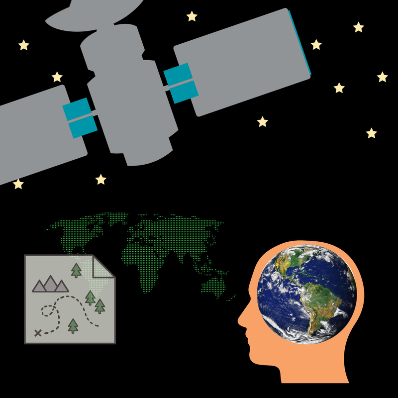
In simple words, GEOINT (GEOspatial INTelligence) refers to the science that analyzes imagery from satellites and aircraft to describe, assess and depict, natural and anthropogenic features, and georeferenced activities. Geospatial intelligence analysis includes analysis of UV and microwave data of electromagnetic spectrum, georeferenced social media, global positioning data, analysis of spatial, radiometric, temporal and history data. The list doesn’t stop here but it is too long to be mentioned as a whole! To conclude, the means by which the above data are transmitted, are usually stationary and moving stations by electro-optical sensor programs (satellites/ aircraft) such as IR, MWIR, SWIR, TIR. Another source is GPS and on-site data by ground instruments.
Geospatial intelligence started from US military in order to make rapid decisions about issues of national defence. Nowadays, there is wide interest in GEOINT, it is progressing sharply and in different ways depending on the governments, while other countries such as India are holding tight the conferences of geospatial intelligence.
It is obvious, that geospatial intelligence is a rapidly growing industry, at the forefront of interest, for many countries. Moreover, since we talk about “geospatial” there is no doubt about its correlation with GIS.
The main principles governing Geospatial intelligence
It is widely known that GIS supports a big variety of applications targeted to geospatial information. It is reasonable to wonder which is the difference of geospatial intelligence with all the other applications, from the moment that everything in GIS rotates around geospatial data and the correlation with general data. Well, this question answered by Bacastow, who enacted some rules and principles to make geospatial intelligence fully understandable by everyone, as well as to emphasize to its differentness.
First of all, GEOINT seems to focus on the roots of geospatial science, technology and thinking in order to achieve better decision making. Moreover, geospatial analysis happens as a logical sequence of natural human entities and technical events. Bacastow mentions that the natural landscape as well as human awareness about the earth, affect and restrict the human action about any issues. To conclude with the uniqueness of geospatial intelligence another conclusion of Bacastow was that GEOINT pursues to find out correlations between geospatial data and patterns of life, perceptions, customs and prejudices over the time, not only by data mapping but also through the technical systems created and used by geospatial intelligence analysts, who encounter the science according to their acuities and discernment.
The main elements of the geospatial intelligence
The correlation of geospatial intelligence with GIS
Let’s start with the basics of GIS program. It is a system that integrates a whole software inside it, as well as hardware and general data in order to manage, analyze, and depict them in geospatial level. Furthermore, GIS program gives the ability for the user to view the results visualized and understand them in-depth, employ them and extract relationships between the correlated data. In that way, it is easier to deepen in a problem and solve it.
After that, we can realize that geospatial intelligence is a science, or a technology and GIS program is a tool or software which help us apply and develop GEOINT. Of course, there is much software where we can apply geospatial intelligence, but GIS is the perfect one because it gives to the user a wide variety of advantages such as the ability for multilayering with geology, contour, elevation, topographic and other maps. GIS program supports also satellite imagery. Moreover, we can easily transform conventional data in a digital form by hand-tracing digitization or use a digitizing tablet which helps us collect and upload coordinates. Scanners and the global positioning system are some other tools to collect and digitize data. Tabular data, Excel files and other files from different software compatible with GIS can also get uploaded and utilized in GIS. Last but not least, we have the opportunity to upload to GIS program previously digitized data or transship data to WebGIS from other online sources.
The benefits of a geospatial intelligence through GIS program
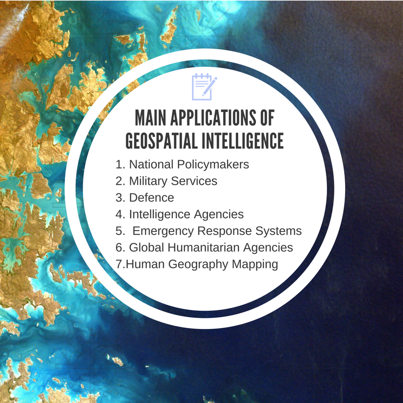
The basic applications where we use geospatial planning
Geospatial intelligence can’t stand alone. It is necessary to have additional information and the contribution of GIS to draw conclusions on an issue. However, finding further information namely data is easy anymore. Having access to GIS is also easy through WebGIS. All the disadvantages are eliminated one by one over time, while the benefits are increasing. Let’s see some of them:
1.Better management of various concepts, from the right promotion of a cosmetic to the confrontation of an epidemic.
2.Easy decision making with maps including many parameters.
3.Improvement of productivity with better planning of the campaign, better research for the right place to locate a shop etc.
4.Great provision and help to human actions
5.Creation of common route for organizations or companies in order to share information and data and evolve science and each profession.
6.Visualized maps of people movements, land cover, and terrain planning.
7.Direct results and decision making in an emergency situation (national defence, a problem in the nuclear reactor, extreme weather phenomena etc)
It is obvious that geospatial intelligence is a science targeted to more profound concepts and that is why it is used for national defence and other crucial programs. Moreover, it combines knowledge from many different disciplines such as UAV and IT technologies, database design and management, software development, imagery analysis, and the most important knowledge and critical thinking about geography, human, environment, and ethics.
For more information call us at +49-30-20679130 or visit our UIZ webpage.


