GIS to webGIS

Use of Geographic Information System (GIS) in Water Resource
September 12, 2015
What is Mapping Forestry?
September 19, 2015Geographic information system (GIS)
A geographic information system (GIS) is system which help us to visualize, analyze, quarry, and interpret our spatial data to understand relationships, trends, patterns, and from the data. Earlier it was used mainly for academic work however these days, it can be used in almost all type of organizations of all sizes and in majority of industry. It include technologies, methods and process for processing of spatial data. It is operated an applied at various levels in project planning, engineering works, management of project, day to day activities in transport and logistics, telecommunications, insurance companies, geomarketing and business etc. It required spatial data having longitude, latitude and elevation information.
WebGIS
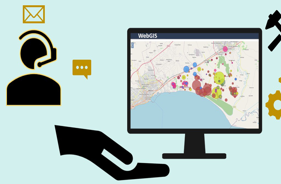
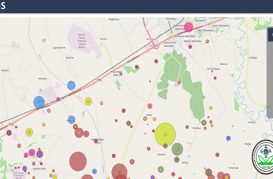
A webGIS is GIS-based system that is based on web technologies. It often communicates with other web components. It is combination of web technologies and geographic information system technologies. This mainly aim to store, recover, manage, visualize, analyze, quarry spatial data. It required client and server in order to operate the functions. WebGIS, Internet GIS, distributed GIS and NetGIS looks to have similar but they have different boundaries with their services.
GIS to WebGIS
GIS services and its applications have been based on desktop computers. It has been mainly used for 2D and 3D analysis, Cartography, data conversion, data interpolation, data management, data tracking, spatial analysis and statistics, network analysis, linear referencing etc. However, these days, people interest is changing GIS to webGIS as webGIS is platform independent for majority of users. A user do not need to have all software to be installed locally in order to carryout analysis. These days developer design the responsive web application so that user can operate the functions and services in any kind of device.
At UIZ
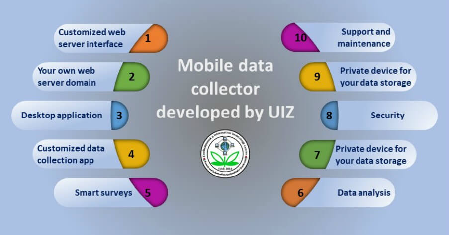
UIZ offers various services in both domains. Please contact us for more information


