What is Mapping Forestry?

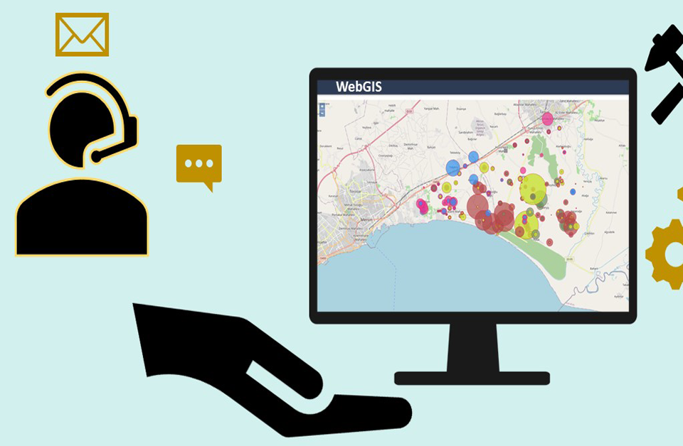
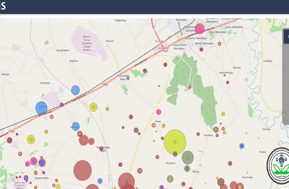
GIS to webGIS
September 12, 2015
Application of GIS in Forest Management
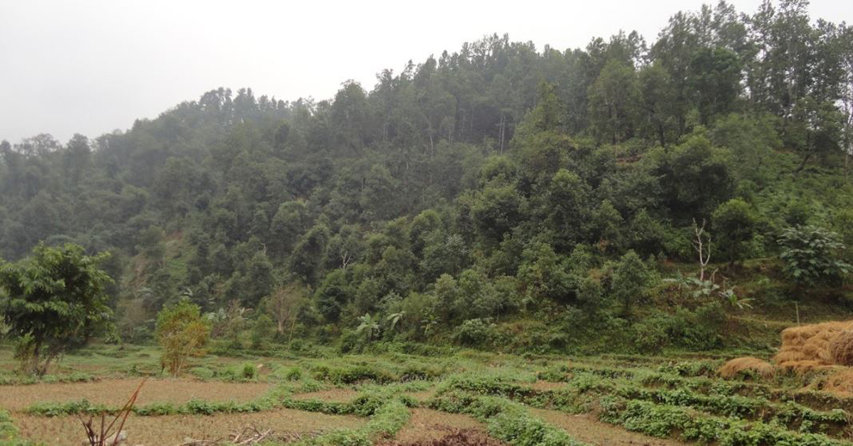
October 6, 2015Forest is one of the major aspects of the environment. Forest plays a vital role in urban and rural climates. Forest fires cause heavy damage to our communities and natural resource points. GIS can adequately utilize for the forest fire disaster zone mapping and also for the catastrophe estimation. GIS also helps to record real-time monitoring of major fire-prone locations. This is accomplished with the help of GNSS and satellite Remote Sensing.
Mapping Forestry defines how Geographic Information System (GIS), remote sensing and Global Positioning System (GPS) (commonly called 3S) and associated software supports the business of forestry considering integrating forest information, economic changes, growing global competition, and decreasing forest resources. In real scenarios from Nepal, India, Brazil, Romania, United States, Finland, and Cambodia, foresters share how they use 3S to manage commercial operations and maintain sustainable maintenance. Forest managers describe how computer-generated maps, remotely sensed images, GIS examination and determination helps them to decide the best places to build roads, whether logging in a particular area is commercially possible, which fire-damaged areas should be restored first and more.
The Most Familiar GIS-relevant Activity in Forestry now are:
The Work Administered by UIZ in Forestry GIS Field to Help in Managing the Forestry Assets can be Outlined as:
Integrated Mapping Forestry
Forest mapping is very much important to identify the causes and effects of deforestation. Estimation of forested land area, Explanation of the reasons behind the forestation/deforestation/ forest depravity, functionality to upload relevant images, key dates of forest-related events/ when conclusions were made. These are all things we can find out from the forestry mapping. The collaboration of government, non-governmental, businesses, and forested related stakeholders is required. UIZ has been working in the field of mapping forestry, please contact us for more information about mapping forestry.

