Blog
April 1, 2020
A geographic information system(GIS) is a framework intended to catch, store, control, examine, oversee, and present spatial or geographic information. GIS applications are devices that permit clients to make intuitive inquiries (client made ventures), dissect spatial […]
March 23, 2020
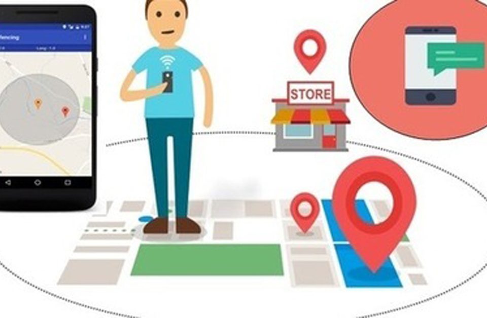
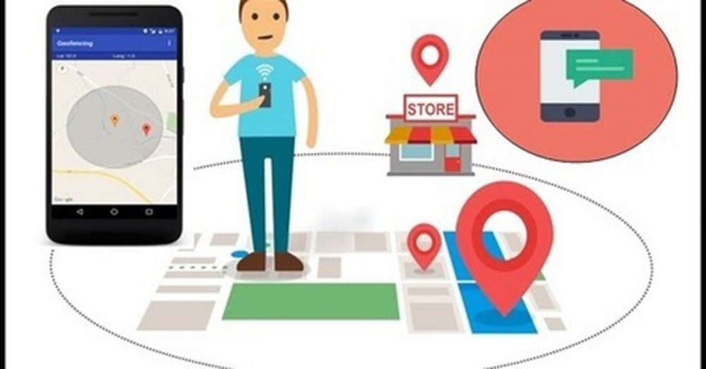
Geofencing marketing is a kind of location-based marketing that permits you to connect with smart mobile device users in a nominated geospatial area, like an outlet, through mobile applications or mobile webpages. As it is a […]
October 31, 2019
GIS (Geographical Information System) is mainly used for mapping processes. GIS is a computer-based information system that is aimed at collecting, storing, manipulating, analyzing, organizing, managing, summarizing and displaying all types of geographical data. GIS has […]
May 10, 2018
Background to Geospatial Intelligence Geospatial intelligence is a new profession and a new subcategory of GIS science, including technology, critical information about an issue and a deep analysis of the field we study. The advantage of […]
May 9, 2018

About Geodata Geographic data or more briefly geodata is the information referred to spatial objects, features of a specific location, or other general data which are related to the location they belong. Geodata could be everything, […]
May 8, 2018
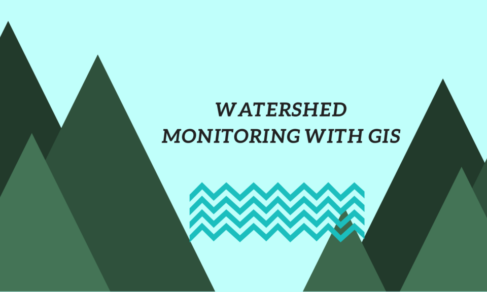
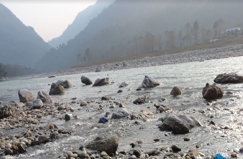
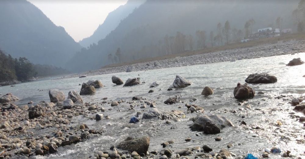
The Role of Watershed Watershed has many different definitions according to hydrology. The broader and most well-known definition of a watershed describes it as an area where surface runoff and small rivers are flowing to end […]
May 3, 2018
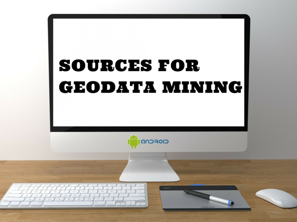
Geodata Mining To talk about geodata mining, we first of all need to explain what geodata mining is. In general, data mining is the automated process which provides us with extra data and information from primary data […]
May 2, 2018
Last years the need to forecast both weather and floods is more imperative than ever. Intensive weather phenomena with even more intense floods and disasters occur every year around the world, reminding us that we must […]
May 1, 2018

Digital Elevation Model, the digital representation of earth’s surface without objects like plants or buildings on it, and from now on we will refer to it as DEM in GIS. DEM in GIS is created by […]

