

Project Description
Client
 Dr. SK Singh, University of Allahabad, Allahabad-211002 Uttar Pradesh, India
Date
 2015
2015
The client
Based on Allahabad in India, our client Dr. SK Singh, who works at the University of Allahabad
gave us the opportunity to work on a joint project, in which we offered the services of remote
sensing and GIS techniques. Established in the year 1887, the University of Allahabad is one
of the most outstanding results in the country. The sectors in which the university provides
higher education is in the field of politics, administration, teaching, management, law,
science, technology, and research.
The project
The project aimed to quantify Land Use/Land Cover (LULC) changes in Ganga river catchment
in Allahabad, India using remote sensing and GIS techniques.
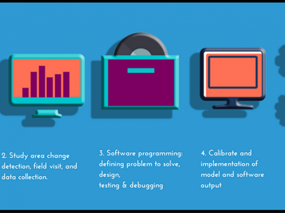
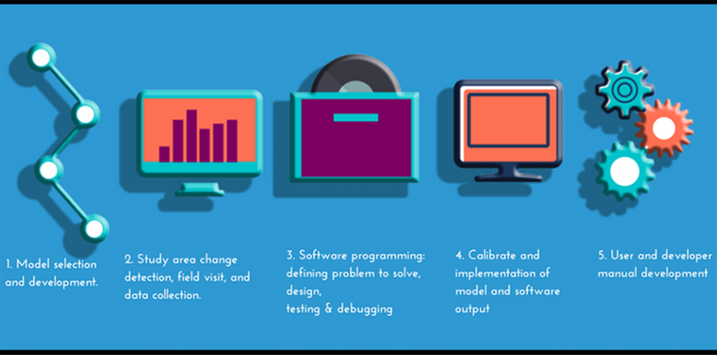
According to the project requirements, the LULC classification of the area was estimated using
the Landsat TM and ETM satellite data from 1990 to 2015. Moreover, the supervised
Maximum Likelihood classification technique was defined by equation 1 and was used to
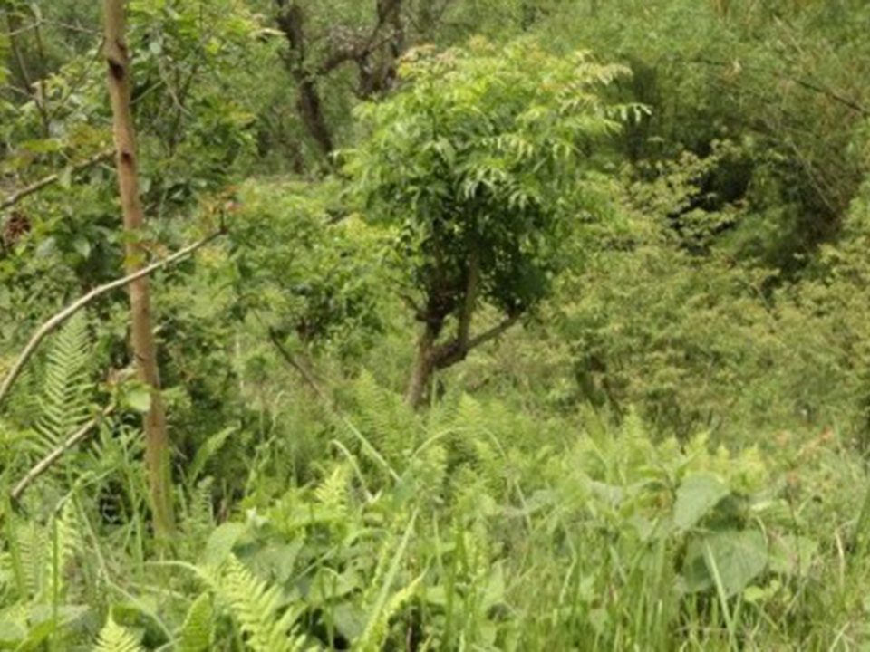
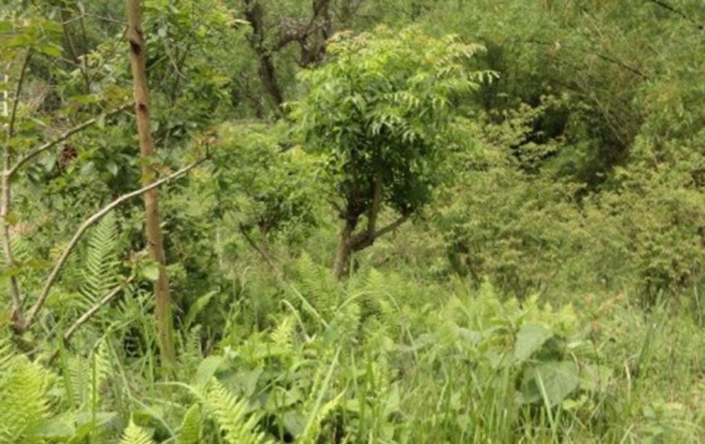
determine the LULC of the study area. The study area covered the forest, agriculture,
cultivable land, water bodies, and other fallow land and wasteland.
The client requirements included a GIS analysis with environmental data, data visualization,
documentation and archiving were carried out as per project TOR.
The solution
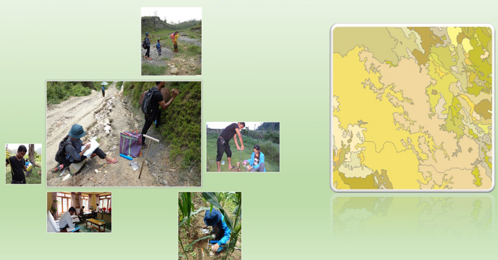
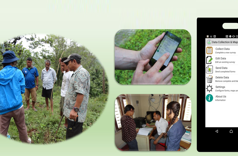
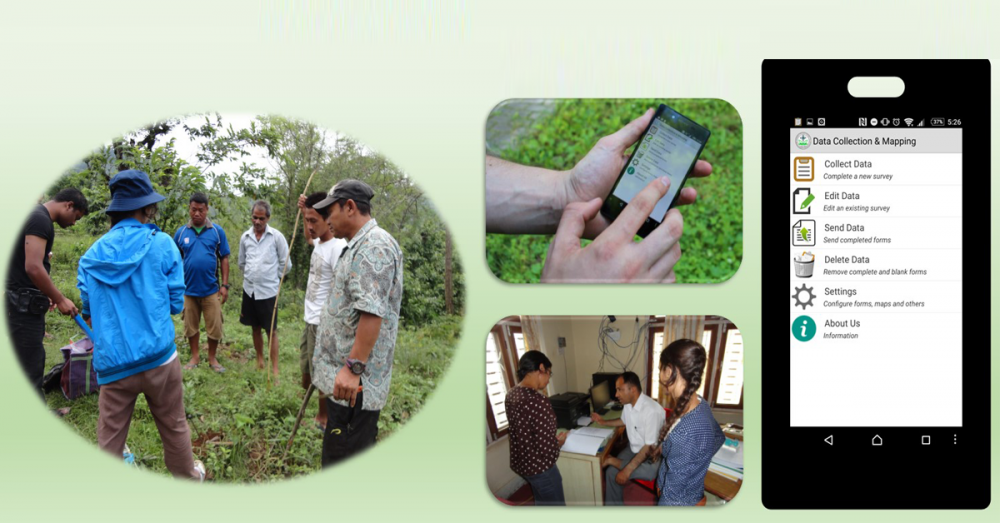
For this project, remote sensing, GIS analysis, and our mobile survey app were used to carried
out the project. The activities were developed jointly by full equipped team of UIZ and client
research cluster during pre-monsoon and post-monsoon in 2014. As per TOR and project
requirement, 6 cases were produced for detecting the impact of LULC on environmental
quality.
These cases were generated on the change detection possibilities from the classified images.
All the possible substantial change cases in LULC were considered in this study such as:
• Cultivable land to Built-up (Case I).
• Wasteland to agricultural land (Case II).
• Water body to Built-up (Case III).
• Fallow land to Built-up (Case IV).
• Fallow land to agriculture (Case V).
• Fallow land to Forest (Case VI).
As per project requirement, the GIS analysis with environmental data, data visualization,
documentation and archiving were carried out as per project TOR.
The result
The results of this project were satisfactory for the client. The changes resulted in each case
were detected and classified. All the possible substantial changes in the LULC cases were
reported.
With years of experience, professional and specialized staff, “Umwelt und
Informationstechnologie Zentrum” UIZ GmbH supports you in the development of your
project.
Umwelt und Informationstechnologie Zentrum, UIZ GmbH Address: Karl-Liebknecht-Str. 34, 10178 Berlin
Phone: +49-30-20679115
E-mail: info@uizentrum.de
Web: www.uizentrum.de


